
Why go
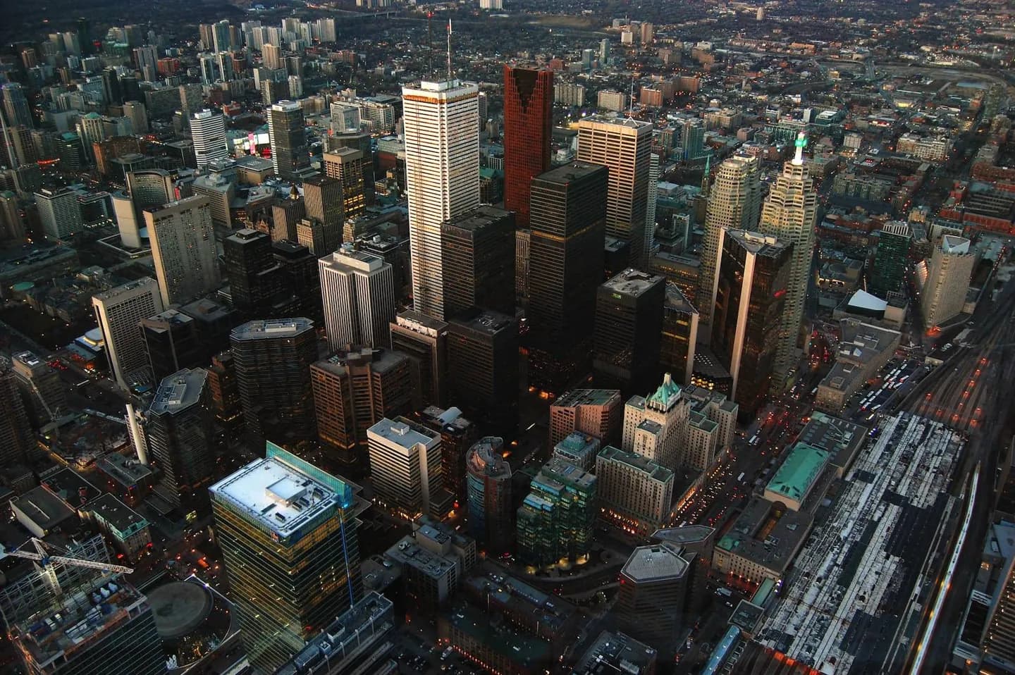
Use this overview to build routes that respect Toronto’s geography. The central cluster offers an efficient introduction, while Queen Street, the Annex, Yorkville and Casa Loma add distinct neighbourhood textures. Scarborough and North York are worthwhile when given their own travel time, making area-based planning more rewarding than a citywide checklist.
The full story
Toronto’s districts make more sense when the route follows geography. Begin with downtown’s compact cluster: Union Station, the financial district, the Eaton Centre and City Hall sit close enough to form a coherent centre. Westward, Queen Street and the Annex shift toward a lower-rise, neighbourhood feel, while Yorkville and Casa Loma sit on higher ground and change the rhythm again. Scarborough and North York require more deliberate transit planning, so they work best as separate area choices rather than add-ons to a downtown walk. This pattern helps visitors spend time looking instead of repeatedly crossing the city. Treat each district as a setting with its own pace, then connect only the nearby sights that support the day’s focus. A short central route can still feel varied when it moves from civic buildings to shopping streets, residential blocks and higher-ground viewpoints.