
Why go
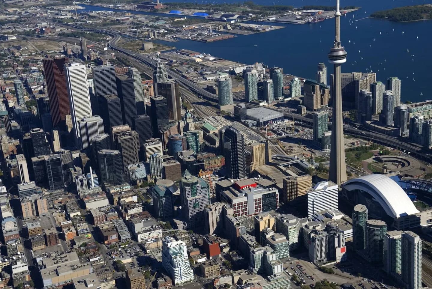
Read Toronto from its lakefront edge and compact downtown core, then use older main streets and residential districts to slow the pace. This overview helps visitors connect the financial district, civic centre, entertainment venues and harbour without mistaking one walkable centre for the whole metropolis.
The full story
Toronto’s central geography is easiest to read from the lake. Downtown gathers the financial district, civic core, entertainment venues and waterfront within a compact, walkable area, while Lake Ontario anchors the city’s southern edge and points toward the islands and harbour. Beyond that centre, older main streets and residential districts create different rhythms and make the metropolis feel less uniform than its skyline suggests. A useful visit alternates between the concentrated downtown core and these slower, more local stretches. Use Union Station, the waterfront and the civic centre as orientation points, then let the next neighbourhood determine the pace. The city is most legible when you notice how commerce, public buildings, entertainment and residential streets sit beside one another rather than treating Toronto as one continuous centre. That contrast is part of the experience, not a problem to solve.