
Why go
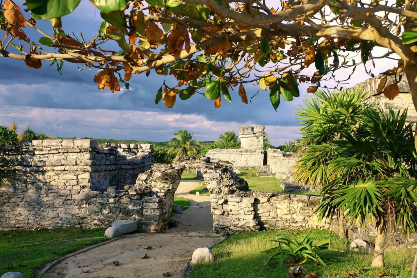
The geographical contrast explains why Maya sites can feel so different. Tulum’s cliff and coastal routes differ from forested centers in the Petén and from highland settlements in Guatemala. Routes across these landscapes carried goods and ideas, so a material found at Tulum may connect the port to communities far inland.
The full story
The historical Maya region includes the Yucatán Peninsula, southern Mexico, Belize, Guatemala and parts of Honduras and El Salvador. It was never one uniform landscape. The northern peninsula has limited surface water and drier terrain; farther south, lowland forests cover parts of Chiapas, Belize and Guatemala. Highland areas toward the Pacific bring different elevations, climates and volcanic ground. These contrasts affected where settlements grew and how people obtained food, water and building materials. Rivers and overland paths linked interior communities, while canoes could follow the Caribbean coast. Tulum stood at the northern coastal edge of that network, with inland connections toward Cobá. Its sea-facing buildings belong to a different physical setting from the large forest cities farther south. This geography helps explain both the similarities and the differences among Maya sites. Shared traditions traveled widely, yet each community adapted to the terrain around it. When looking from Tulum’s cliff toward the water, picture a route connecting distant regions rather than a hard border around the Maya world.