
Why go
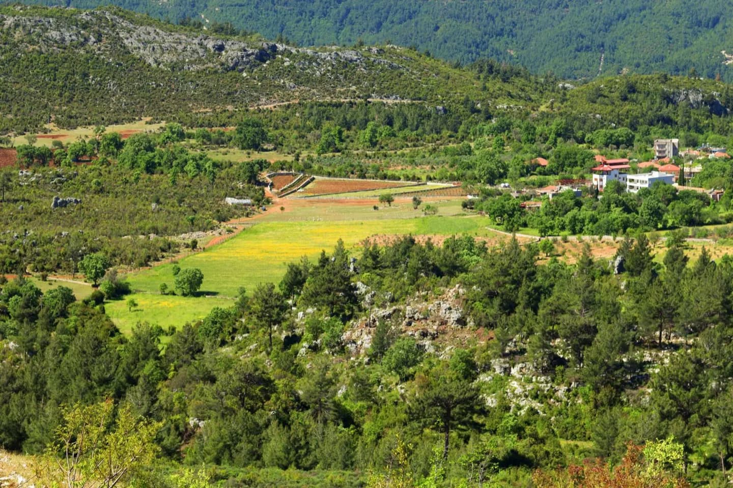
The Bosphorus, Sea of Marmara and Dardanelles separate Turkey's European and Asian landmasses. From the Aegean and Mediterranean coasts, mountain ranges stand between the shore and central Anatolia's plateau. Farther east, the terrain becomes more mountainous around Lake Van and Mount Ararat. The geography explains why a coastal plan cannot simply be extended inland without changing the journey.
The full story
Eastern Thrace lies on the European side of Turkey, bordering Greece and Bulgaria. Most of the country is Anatolia, the peninsula east of the straits. The Bosphorus connects the Black Sea with the Sea of Marmara, while the Dardanelles connects Marmara with the Aegean. Together these waterways form a natural orientation point for Istanbul and the wider northwest. Across Anatolia, narrow coastal zones contrast with the high central plateau. The Pontic ranges line much of the Black Sea side, and the Taurus Mountains rise behind the Mediterranean coast. Moving east, the plateau grows more rugged. Eastern Anatolia includes Lake Van, Mount Ararat and the upper reaches of major rivers including the Euphrates and Tigris. Southeastern Anatolia meets the northern plains of Upper Mesopotamia. These are meaningful differences for a traveler: a Black Sea coastal trip, a central plateau journey and a visit to the mountainous east each involve distinct landscapes and climate conditions.