
Why go
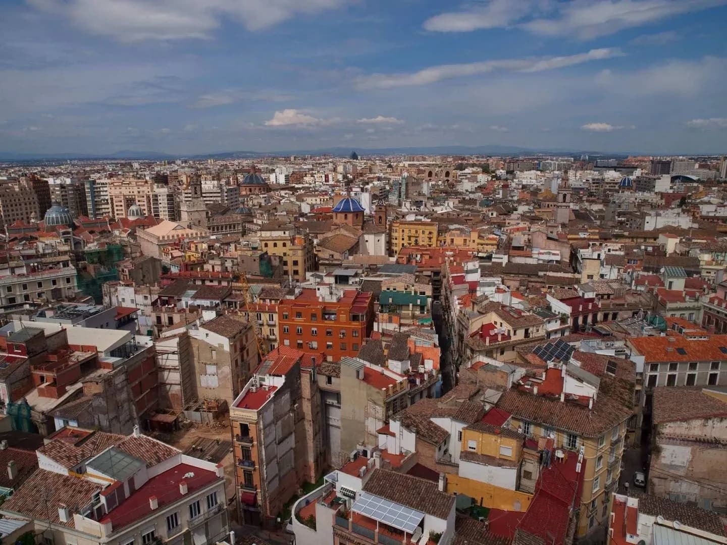
This overview helps first-time visitors understand the city as a connected setting rather than a checklist. The Turia is the main spatial clue, while the historic centre supplies the Roman origin, civic character and layered buildings that give a walk context.
What to look for
- Use the former Turia riverbed to orient the city’s historic core.
- Keep the names Cap i Casal and capital of the Turia as local context.
- Notice how public squares link civic and religious landmarks.
The full story
Valencia grew beside the Turia, yet the river visible on today’s map is also an absence: after severe flooding, its course was diverted and the old bed became Jardín del Turia. That long green corridor now links neighborhoods, museums, sports spaces and the City of Arts and Sciences. North of it, Ciutat Vella preserves a tighter pattern of streets and squares shaped by Roman, Islamic and Christian periods. The Mediterranean coast adds a third orientation line, connecting the port, urban beaches and nearby food landscapes. Moving between old town, river garden and shoreline reveals how water has shaped the city even where it no longer flows. Reading these landscapes together explains why Valencia can feel historic, spacious and contemporary within a relatively compact urban area.
Useful to know
- Start with the city overview, then choose a focused history, festival or food theme.
- Treat the Turia as a connecting landscape, not simply a scenic detour.