
Why go
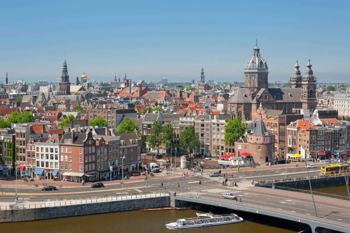
Use Amsterdam's centre as a place to connect its landmarks rather than collect them in isolation. Dam Square, the Amstel, the canal belt and the IJ show how a small settlement at a dam became a trading city, then expanded into districts with distinct scales and histories.
The full story
Amsterdam grew where the Amstel met the IJ, and its name preserves that early relationship with a dam on the river. Water has remained the city's organising fact. The old centre follows the river's former line through Damrak and Rokin, while the later canal belt curves around it in a planned sequence. The three principal residential canals, Herengracht, Keizersgracht and Prinsengracht, were built during the seventeenth-century expansion; their houses, bridges and waterside streets make that period readable on foot. Yet Amsterdam is not only the canal belt. The IJ opens the centre toward the north, and nineteenth- and twentieth-century growth brought new districts beyond the historic core. A useful visit keeps those contrasts in view: enclosed canal streets and broad water, medieval routes and later planning, commerce and domestic life. Moving between a canal walk, the Amstel and the station waterfront gives the city a more connected shape than any single landmark can provide.