
Why go
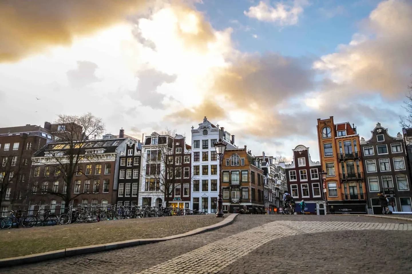
The period is easiest to read outdoors. Herengracht, Keizersgracht and Prinsengracht show the planned residential expansion, while former civic buildings and merchant houses reveal how commerce became urban form. It gives the canal belt more meaning than a scenic walk alone.
The full story
Amsterdam's seventeenth-century prosperity rested on long-distance trade, shipping and finance. Ships connected the city with North America, Indonesia, Brazil and Africa, while merchants financed voyages and goods moved through its harbour. The wealth of this period supported the great canal expansion and gave the city its most recognisable urban form. New waterways helped manage water and movement, but they also made room for residential development on Herengracht, Keizersgracht and Prinsengracht. City regents invested in infrastructure as well as almshouses, hospitals and churches, shaping a dense civic landscape alongside private wealth. The period drew painters and makers to Amsterdam; Rembrandt worked here as the city grew around its new canals. Yet prosperity was not evenly shared, and the city's openness to newcomers was shaped by wealth, religion and public order. Look at the canal belt with both facts in mind. The broad water, regular plots and tall façades are evidence of deliberate planning, commercial confidence and a city government able to direct a large expansion.