
Why go
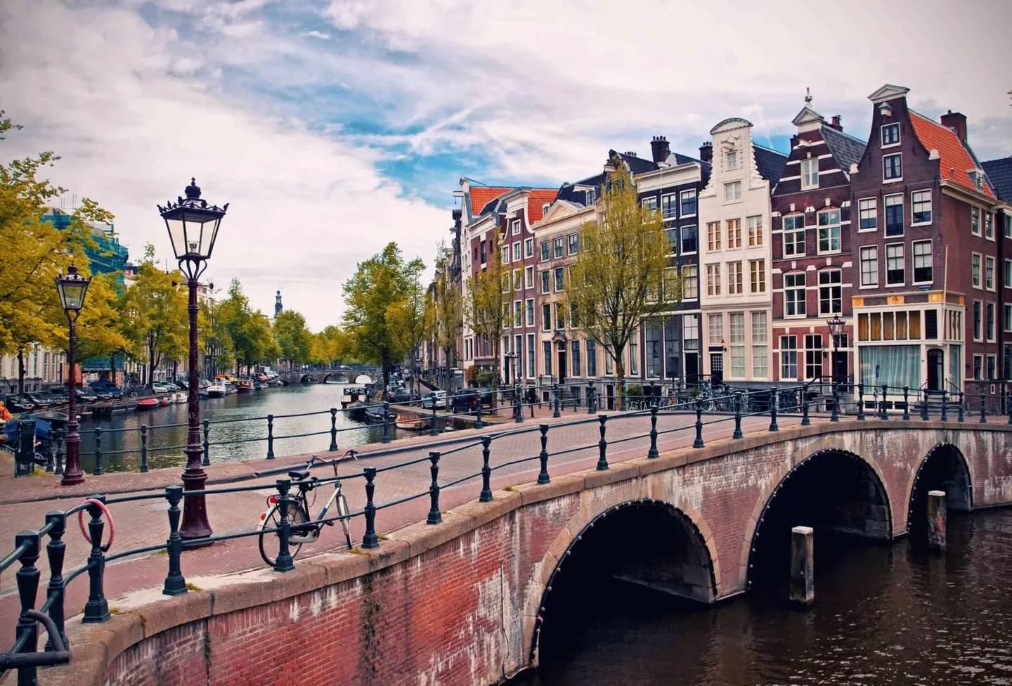
Use the geography to choose how you move through the city. The Amstel opens the centre toward broader water, while Singel, Herengracht, Keizersgracht and Prinsengracht form nested routes through the old core. Winds and rain can make waterside walks feel markedly different from sheltered streets.
The full story
Amsterdam lies in western Netherlands on flat land formed largely through polders. The Amstel ends in the centre and connects with canals that lead toward the IJ, while the Noordzeekanaal provides the route onward to the North Sea. This water network explains why the centre has such a distinctive shape. Singel, originally a medieval moat, forms the inner ring around the old city. Outside it, Prinsengracht, Herengracht and Keizersgracht trace the better-known seventeenth-century canal belt. Bridges tie these waterways to streets and small islands, creating short crossings and frequent changes of view. The wider setting matters too. Amsterdamse Bos lies to the southwest, and the city remains closely connected to open water even when the canal streets feel enclosed. Its maritime climate is influenced by the North Sea, so rain, cloud and wind are regular parts of the experience. A canal route is therefore not just scenery: it is a way to understand how water, land reclamation, transport and weather continue to organise the city.