
Why go
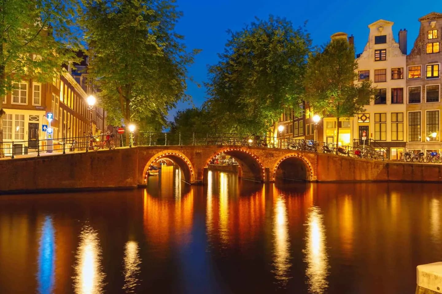
The Canal Ring makes the city’s expansion legible at street level. Herengracht, Keizersgracht and Prinsengracht curve around the older core, each lined with houses that show how trade, wealth and domestic life met the water. The Golden Bend on Herengracht is especially useful for comparing the grander canal houses with the more everyday rhythm elsewhere.
What to look for
- Herengracht, Keizersgracht and Prinsengracht form the main concentric canals of the Grachtengordel.
- The Golden Bend on Herengracht is known for broad canal houses, inner gardens and coach houses.
- Singel marks the former medieval boundary before the city expanded outward.
The full story
Amsterdam’s Canal Ring was a deliberate early seventeenth-century expansion, not a set of waterways that grew by accident. The plan used four broad arcs with their ends near the IJ: three major canals for residential development and the outer Singelgracht for defence and water management. Work began in the northwest in 1613 and moved across the city, while the southern section developed more slowly after 1664. The eastern arc between the Amstel and the IJ was never completed as originally intended, leaving room for parks, gardens and public buildings. That history is visible in the contrast between the tight medieval core inside Singel and the wider, more regular canals beyond it. On Herengracht, the Golden Bend shows the grander end of this residential landscape, with wide mansions, gardens and coach houses behind the façades.
Useful to know
- Choose one canal to follow for several blocks rather than trying to cover the full ring in one walk.
- Combine the Canal Ring with Bloemenmarkt on the Singel or continue toward the Amstel.