
Why go
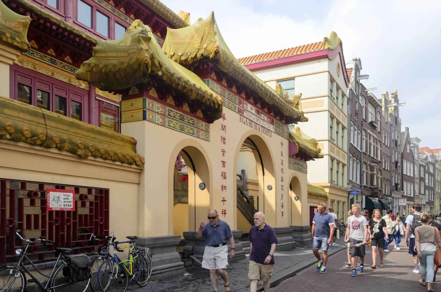
Follow the street to connect Amsterdam's struggle with water to its history of migration. The old dike's bend, Chinese-language signs and traces of the nautical quarter show how infrastructure became a cultural corridor. The route turns those changes into details visible at walking speed.
What to look for
- Read the street's curve as the surviving line of a dike beside the former IJ.
- Notice Dutch and Chinese street signs around Amsterdam's Chinatown.
- Look toward the Waag, the former city gate marking the route's southern end.
The full story
Zeedijk was built as a seawall protecting Amsterdam from the IJ when that water still connected openly to the Zuiderzee. The street's curved course preserves the shape of the old dike, making flood defence visible in the modern city plan. At its southern end, the route reached the Sint Anthoniespoort, the gate now known as the Waag on Nieuwmarkt. Zeedijk later became a sailor quarter, with bars and maritime suppliers serving traffic from the harbour. Migration added another layer. Chinese residents began settling around Zeedijk and Nieuwmarkt in the early twentieth century, and the street became the heart of Amsterdam's Chinatown. Dutch and Chinese signs mark that history in the public realm. The same compact route has also held an important place in LGBTQI+ life, including early gay and lesbian venues. Zeedijk is therefore best read as infrastructure repeatedly repurposed: dike, harbour street, migrant corridor and nightlife address.
Useful to know
- Walk from Prins Hendrikkade toward Nieuwmarkt so the old dike line is easy to follow.
- Compare Zeedijk with nearby Warmoesstraat rather than covering both in the same crowded evening.
- Use the official walking route to choose current cultural stops along the street.
Your next visit
Estimated · Declared scenario and planning estimates; no live opening, weather, queue or booking service.
Outdoor visit · 30–45 min
World planning estimate; admission, opening, visit duration and access need checking.