
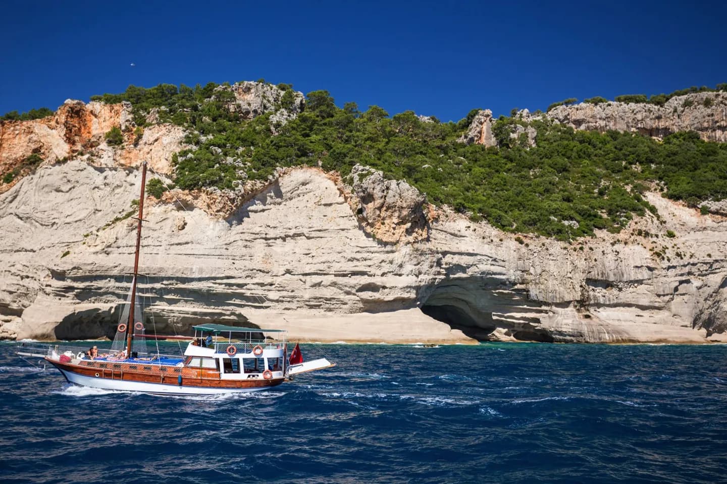
Why go
This short history explains why a coast framed by mountains developed later than its beach setting might suggest. The wall gave the town its present name; the road and later infrastructure investment opened the district to large-scale tourism. Those changes are a useful lens on the built-up resort coast today.
The full story
Kemer was once known as Eski Köy. Mountain streams caused repeated flooding, and a long stone wall was built in 1916–17 to channel the water and protect the settlement. The Turkish word kemer became attached to the town through that structure. For decades afterward, the mountain barrier still shaped daily access: before the road connection of the 1960s, the district was reached by boat. The road changed the coast's relationship with the rest of Antalya province. From the 1980s, planned infrastructure investment supported a large tourism industry, bringing more accommodation and services to settlements along the shore. The sequence explains the contrast visitors see now between the steep, wooded backdrop and the resort strip below. It also keeps the town's name connected to an everyday problem, floodwater, rather than treating it as a decorative label on a holiday destination.