
Why go
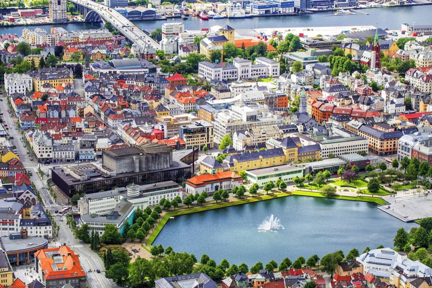
Start at Torgallmenningen to get your bearings, then use Vågen to place Bryggen and Bergenhus on the harbour's eastern side. Nordnes extends north from the centre across the water. These relationships make a walking plan easier to understand, while the narrow hillside streets explain why a short map distance may take longer on foot or by car.
The full story
Bergen's street names offer clues to its shape. An allmenning is a broad street or square; Torgallmenningen is the central example. These open spaces were laid out to help stop fires spreading through the city. A smau is a narrow alley, and on a slope it may become a flight of steps. Kai points to a quay, while plass means square. The names are most useful when you are finding your way between the waterfront and the hills, where a line on a map can hide a steep climb. From Torgallmenningen, the Nordnes peninsula runs north, with Vågen on its eastern side. Bryggen lines the opposite shore, and Bergenhus stands farther toward the harbour entrance. The harbour and nearby mountain summits provide broad bearings, though the smaller streets can still be irregular. Walking keeps these relationships visible; driving through the narrow, often one-way streets can turn nearby points into a longer journey.
Useful to know
- Walk between central harbour sights; allow extra time for climbs away from Vågen.
- Check a hillside walking route for stairs if you need a step-free way through the centre.
- Use the current Skyss journey planner for bus routes and departures before travelling farther out.