
Why go
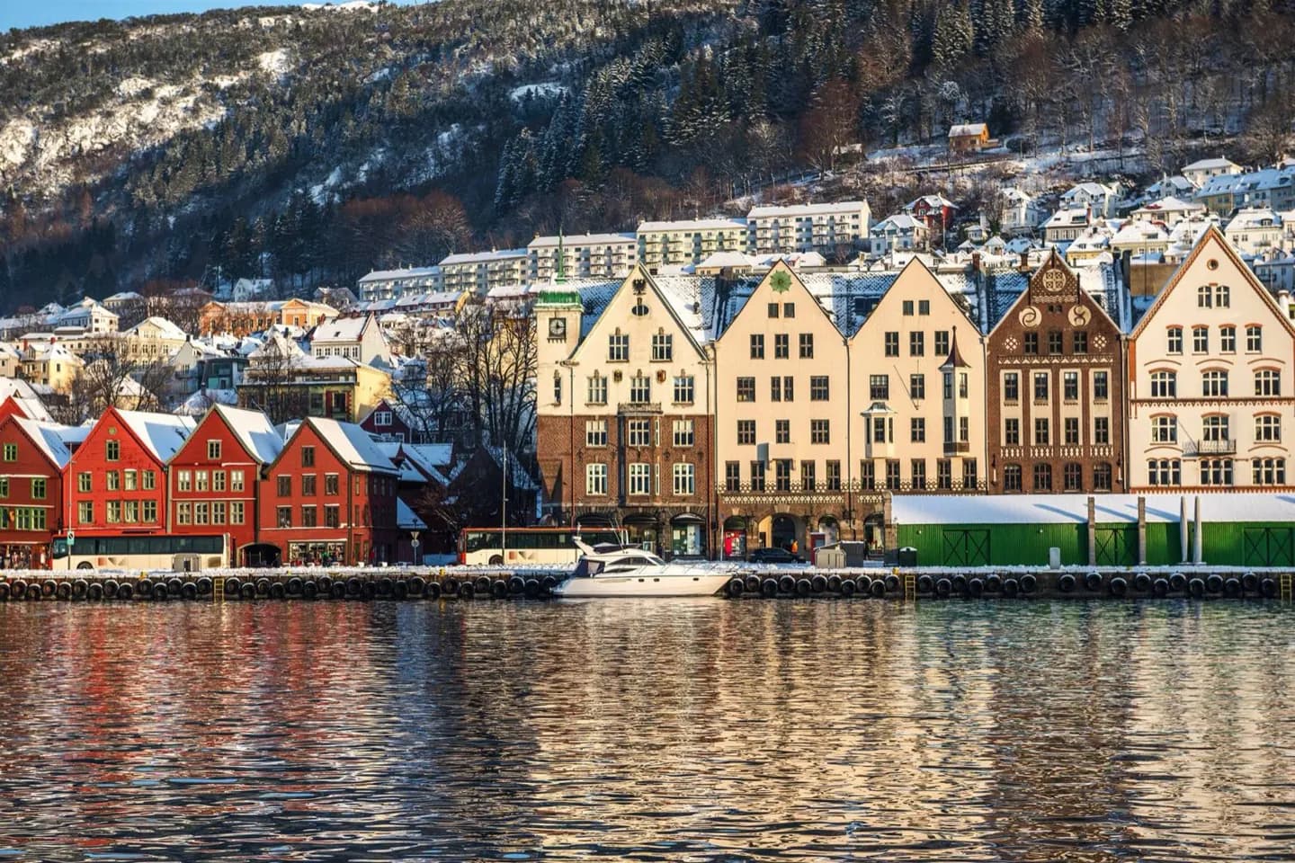
The city is easier to orient once you see the water and slopes together. Bryggen faces Vågen, Nordnes projects between waterways, and Fløyen rises immediately behind the centre. A viewpoint above town turns those separate walks into a clear map of the peninsula, harbour and islands beyond.
The full story
Bergen occupies much of a peninsula on Norway’s west coast. The old centre grew around Vågen, a sheltered inlet connected to Byfjorden. Mountains rise near the urban core, so built streets meet steep ground quickly. The surrounding islands help screen the city from the open North Sea, while the fjord remains the route through which Bergen has long faced outward. The familiar “seven mountains” label describes this setting, although there is no universal agreement on exactly which peaks belong in the group. In practical terms, the geography offers two scales of visit: follow the quays and neighbourhood lanes at water level, then look back from Fløyen or another high point to understand how tightly the city fits between landforms. This shift in scale is one of Bergen’s clearest pleasures.
Useful to know
- Use a harbour walk for street-level orientation, then a mountain viewpoint for the wider layout.
- Allow for steep streets when moving away from the flat waterfront.