
Why go
A city-centre route can connect civic streets and riverfront paths on foot, while a crossing or an outer suburb may call for a train, bus or ferry. The practical choice is geographic: check which river bank your destination occupies and whether the route climbs away from the water.
The full story
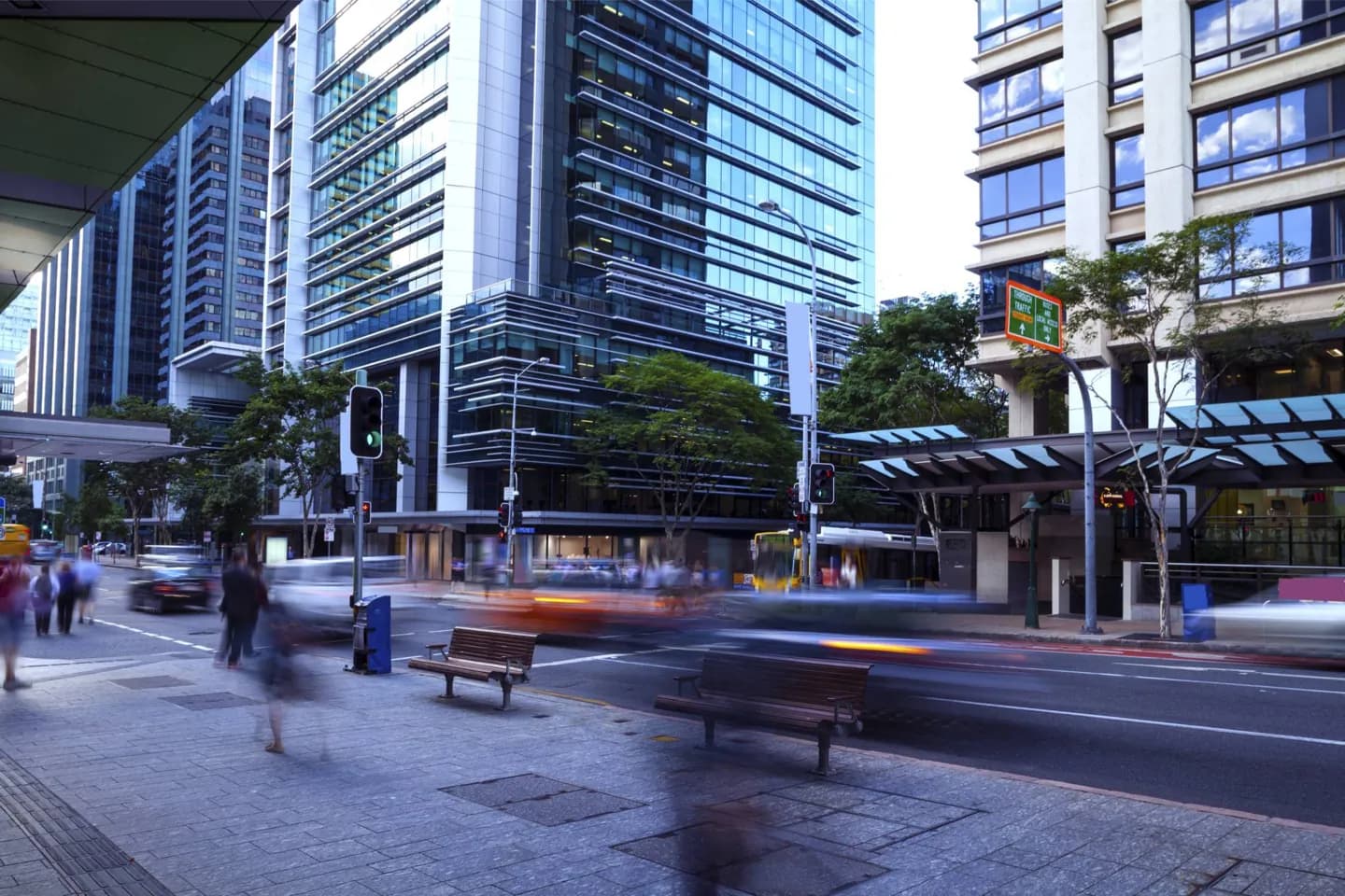
Brisbane is navigable by several modes, but the right one changes with the shape of each trip. The central business district is relatively compact, so walking can join City Hall, nearby streets and parts of the riverfront. Beyond it, bends in the river and hills interrupt the straight lines a map seems to promise. Riverside cycling paths can offer a more direct and gentler route than streets climbing into surrounding suburbs, though busy shared paths call for care. Ferries make the river part of the journey rather than an obstacle, while rail and buses extend the useful reach beyond the inner banks. For a real day, group nearby places first, then use a current journey planner to connect areas. This avoids assuming that two points close on a map are easy to join on foot.
Useful to know
- Check the current journey planner for a trip beyond the central walking area.
- Look at the river crossing and elevation before choosing to walk or cycle.
- Allow extra time when moving between separate suburbs rather than nearby central stops.