
Why go
Rail extends along major corridors, buses fill streets and busways, and ferries connect points on the Brisbane River. Roads and cycling paths cross or follow the same geography in different ways. This overview helps explain the available modes; use a current journey planner for routes, service frequency and fares.
The full story
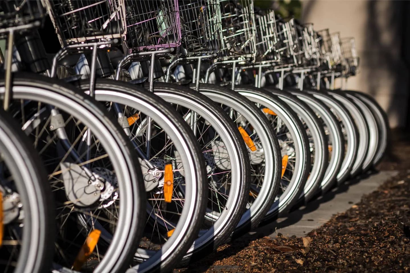
Brisbane's transport grew around a river that both connects and divides neighbourhoods. Bridges concentrate road and walking crossings, while ferries turn the waterway into a travel corridor. Rail lines link the centre with wider urban and regional areas; buses reach streets beyond the tracks and use dedicated busways on some corridors. Cycling routes often follow the river, including links around South Bank and the central city, where flatter ground can make them easier than a hillier inland street. Air travel enters the city from the airport northeast of the centre, while the port sits farther downriver toward Moreton Bay. The network's parts make more sense when viewed together: the mode that is direct for one bank or suburb may be awkward for another. Current service details belong in a journey planner, but the geography remains a useful guide.