
Why go
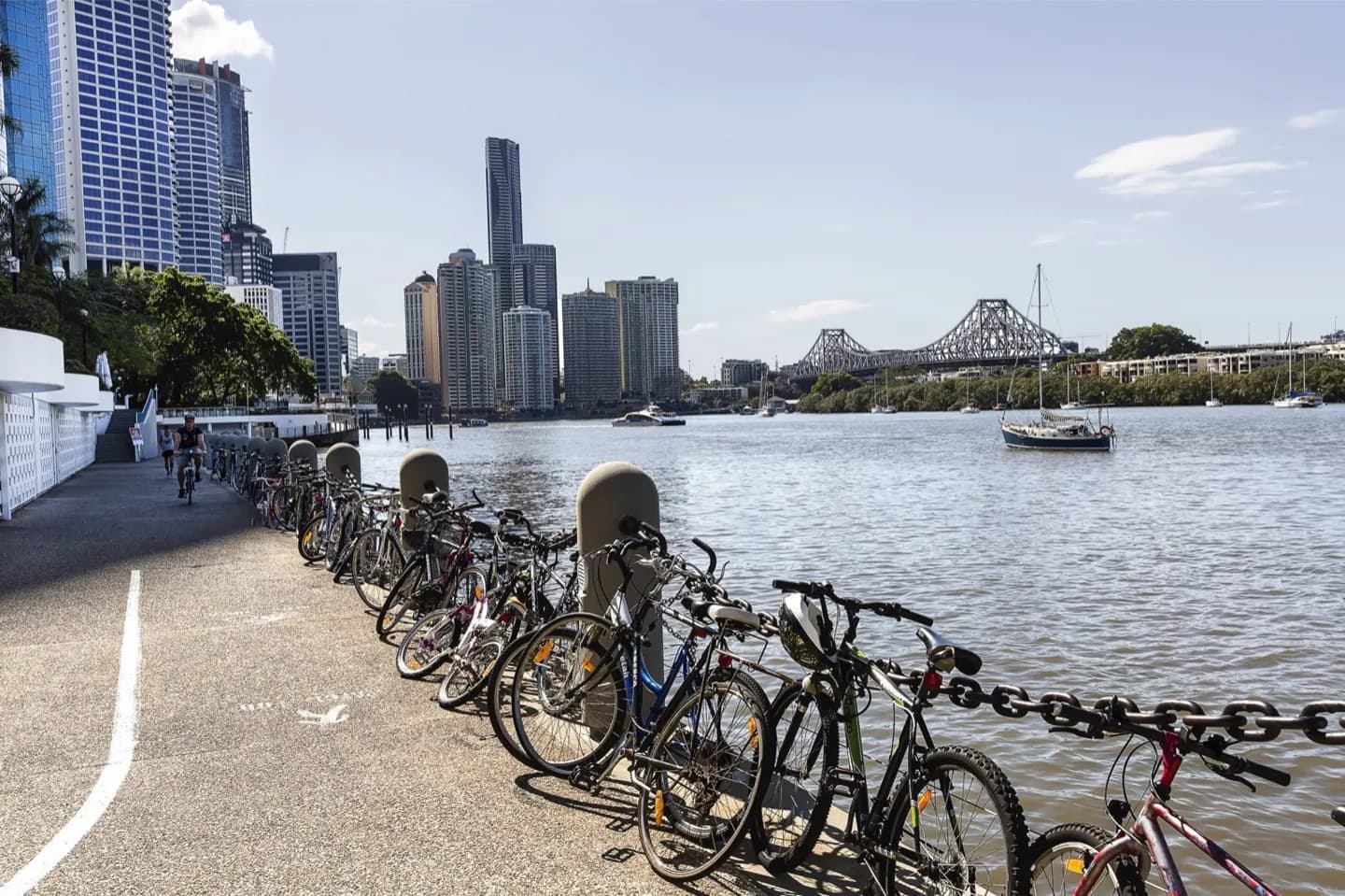
Come here to read the city's shape from the opposite bank. The Story Bridge meets the peninsula at its northern end, while riverside paths lead toward the cliffs and their high and low viewpoints. It works well for visitors who want an outdoor contrast to the compact city centre.
What to look for
- The Story Bridge where it meets the northern tip of Kangaroo Point.
- Riverside paths with views back toward central Brisbane.
- Captain Burke Park beneath the bridge.
The full story
Kangaroo Point is a peninsula shaped by the Brisbane River and the harder rock beneath it. Its position made a crossing to the northern bank desirable long before Story Bridge opened. The suburb's built landscape now shifts from the bridge and riverside parks to the exposed cliffs farther south. Those cliffs are partly an industrial landscape: quarrying made the rock face steeper and supplied stone for Brisbane works. The river bend explains why viewpoints here face different parts of the city as you move along the shore. Walking the peninsula reveals more than one postcard view: bridge structure at the north, city towers across the water, and the geological wall of the cliffs. Treat Kangaroo Point as an area to explore in sections rather than a single point on a map.
Useful to know
- Choose the bridge end or the cliffs end as a starting point; the suburb spans both.
- Allow for a longer walk if combining the riverside paths and cliff viewpoints.
Your next visit
Estimated · Declared scenario and planning estimates; no live opening, weather, queue or booking service.
Outdoor visit · 30–45 min
World planning estimate; admission, opening, visit duration and access need checking.