
Why go
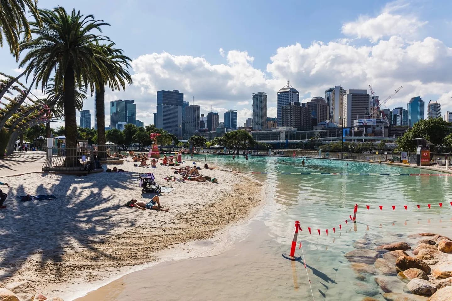
Understanding the river makes the city easier to explore: South Bank faces the central business district, Kangaroo Point forms a peninsula, and eastern suburbs meet the bay. Look beyond the skyline for Queenslander houses, whose timber walls, verandahs and elevated floors express an older response to the local setting.
The full story
Brisbane's city centre sits within a bend of the Brisbane River, while suburbs spread across its floodplain and toward Moreton Bay. Creeks cut through that low land, and repeated floods have shaped how the city uses its river edges. Above the flats, hills can make a short route much steeper than it appears on a map. The built environment has its own geographic clues. Older Queenslander houses commonly used timber, verandahs, high ceilings and raised floors. Smaller versions survived in inner neighbourhoods even as apartment buildings became more common. These houses show how residents adapted building form to materials and climate, while the city's newer density shows a later stage of growth. Compare a riverfront walk with a climb into Spring Hill or another inner ridge to see how strongly terrain changes the experience.