
Why go
This short history gives meaning to streets and buildings that otherwise appear disconnected. It explains why the old Dubh Linn lies near Dublin Castle, how river trade shaped the quays, and why Georgian squares sit beside institutions of an independent state.
The full story
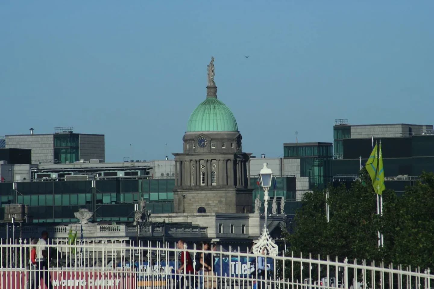
Dublin grew around two linked waters: the River Liffey and the smaller Poddle. Viking settlers used a dark pool near today’s Dublin Castle, remembered in the Irish name Dubh Linn, while another Irish name, Baile Átha Cliath, refers to the settlement at the ford of hurdles. Medieval streets tightened around the castle and cathedrals. Later trade and administration stretched the city along the quays and into planned Georgian squares. The Custom House, Four Courts and former parliament building turned architecture into statements of authority. The nineteenth and early twentieth centuries added railways, civic institutions and sites central to the struggle for independence. Modern Dublin still reveals these layers at walking speed: river crossings reset orientation, older lanes interrupt formal avenues, and state buildings occupy spaces created under earlier governments.