
Why go
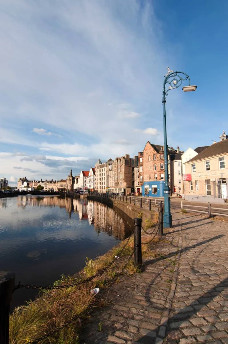
The river mouth and port give Leith a character distinct from the Old Town ridge. Around the Shore, former industrial and maritime buildings reveal how the district changed as waterfront areas were reused. A river-focused walk makes that relationship easier to follow than trying to cover the whole neighbourhood in one visit.
What to look for
- The Water of Leith reaches the Firth of Forth in Edinburgh’s port district.
- The Shore retains a setting shaped by maritime and industrial use.
- The riverside walkway reflects the renewal of formerly industrial banks.
The full story
Leith developed at the mouth of the Water of Leith, on the south shore of the Firth of Forth, as Edinburgh’s port and a separate municipal burgh. That geography placed maritime trade and industry at the centre of its identity. The waterfront therefore tells a different urban story from the royal and civic buildings on the Old Town ridge. After the Second World War, industrial decline, clearance of poor housing and falling population changed the district. Renewal began to gather pace in the late 1980s. Former industrial sites became housing or smaller business premises, while the Shore saw older buildings adapted to new uses. Cleaning the riverbanks and opening a public walkway also changed how people could experience the water. Looking at reused buildings beside the river helps connect the waterfront seen today with the working port and industrial neighbourhood that preceded it.
Useful to know
- Pick the Shore or a specific waterfront destination as the focus before travelling to Leith.
- Follow the Water of Leith around the Shore to connect the district’s river and port setting.
Your next visit
Estimated · Declared scenario and planning estimates; no live opening, weather, queue or booking service.
Outdoor visit · 45–120 min
World planning estimate; admission, opening, visit duration and access need checking.