
Why go
The boundary is a useful clue to how much the island changed. A compact set the state line before most of the present land existed. A 1998 Supreme Court decision assigned the later additions to New Jersey, leaving the original island in New York.
The full story
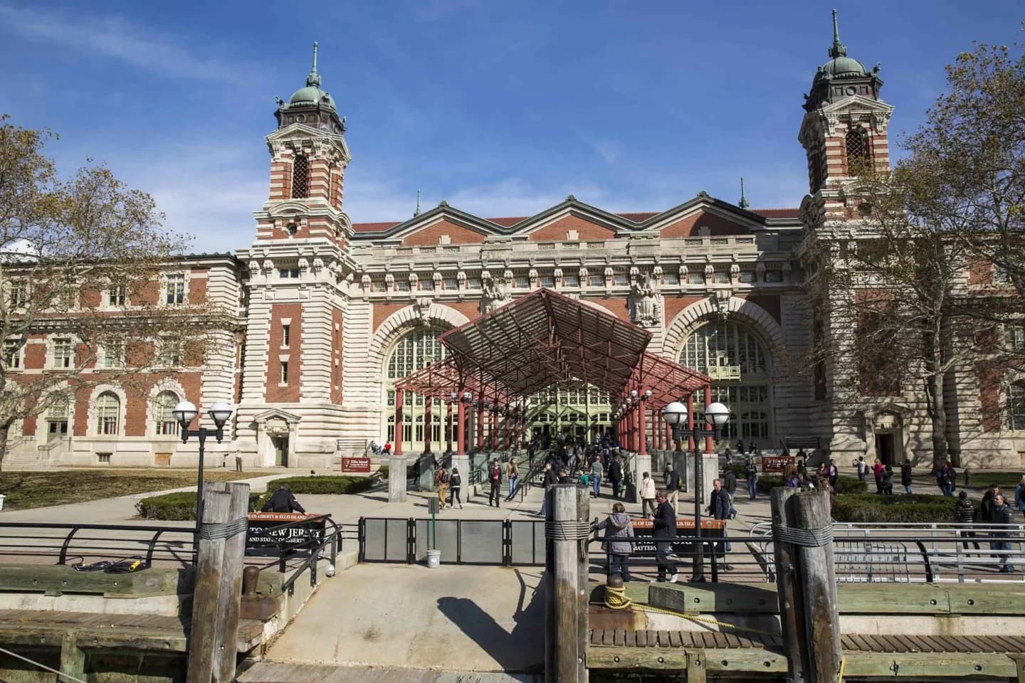
Ellis Island’s state line is unusual because the island itself changed size after the line was settled. An interstate compact approved in 1834 placed the New York and New Jersey boundary through the harbor while preserving New York’s claim to the existing island. The federal government, which had bought Ellis Island in 1808, later expanded it with landfill to support the immigration station. That work continued into the twentieth century, creating most of the land visible today. New Jersey argued that these added sections lay on its side of the border. The dispute reached the U.S. Supreme Court, which ruled in 1998 that New Jersey had jurisdiction over the reclaimed portions while New York retained the original island. Federal ownership and management did not change. When you look at the large station complex, remember that much of its footprint sits on land created after the original legal boundary was drawn.