
Why go
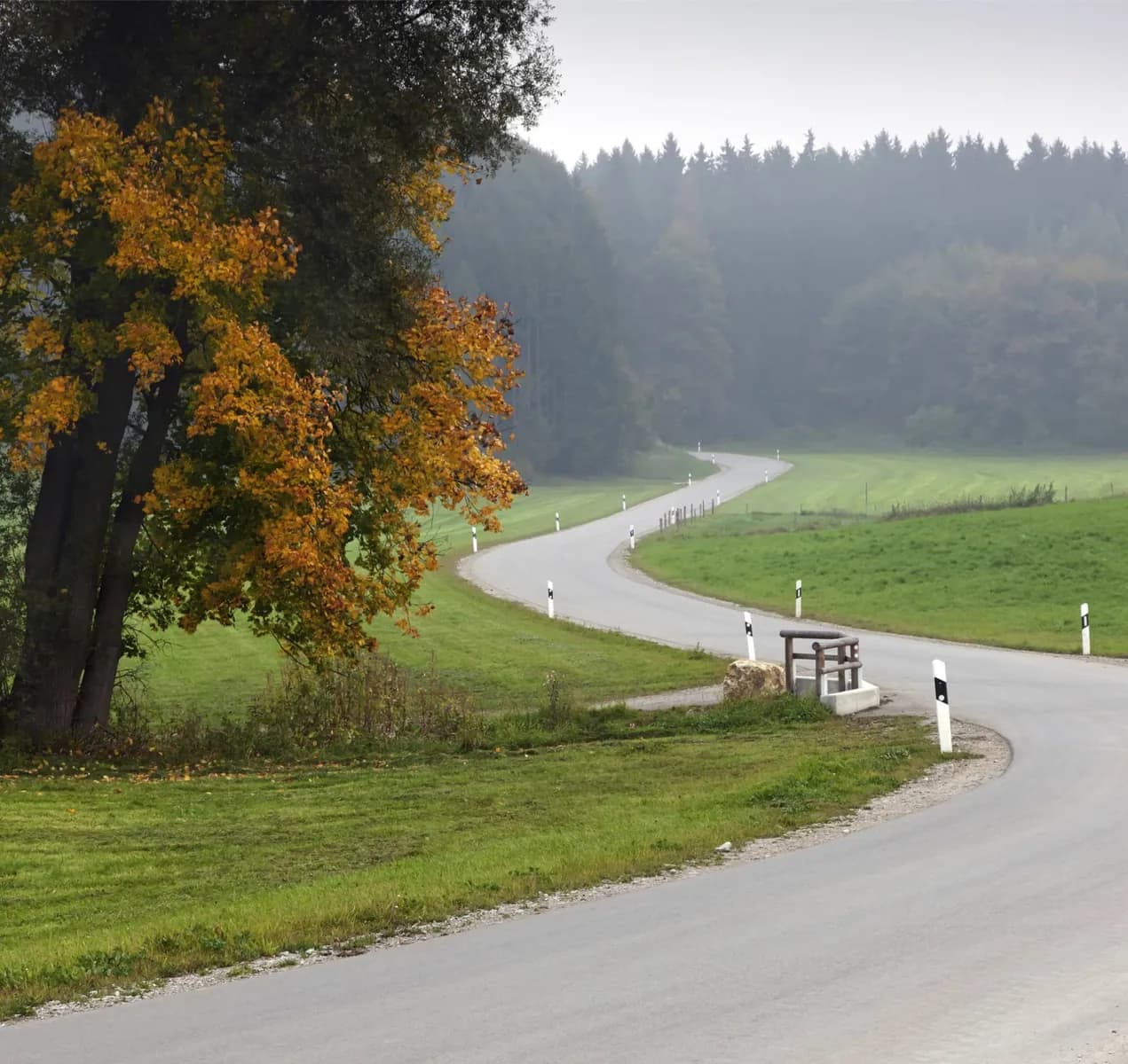
On a clear day, the heights near Bühlerhöhe look across the Rhine plain toward the Vosges. Farther on, Hornisgrinde and the round Mummelsee change the scenery from distant panorama to highland lake and forest. Ruhestein offers a useful point to connect the drive with the region's natural history.
The full story
The road follows part of the B500 and rises quickly from Baden-Baden to the northern Black Forest ridge. It passes below Hornisgrinde, the area's highest mountain, and by Mummelsee, a lake formed in a glacial cirque. At Ruhestein, the nature centre interprets the surrounding landscape; the nearby Lotharpfad addresses the effects of the 1999 storm Lothar. The name Schwarzwaldhochstraße came into use around 1930 as new road links made the high forest more accessible to visitors. Later construction under Nazi rule also served strategic purposes, including the stretch between Ruhestein and Alexanderschanze built from 1938 to 1941. The continuous road to Freudenstadt was completed in 1952. That history helps explain why this feels like a purpose-built scenic drive rather than an old village road. Its strongest moments come where you leave the car to see the ridge, lake or storm-shaped forest at close range.
Useful to know
- Give the high viewpoints priority in clear weather; cloud can obscure the long view across the Rhine plain.
- Choose one or two stops such as Mummelsee or Ruhestein, then continue toward Freudenstadt at an unhurried pace.