
Why go
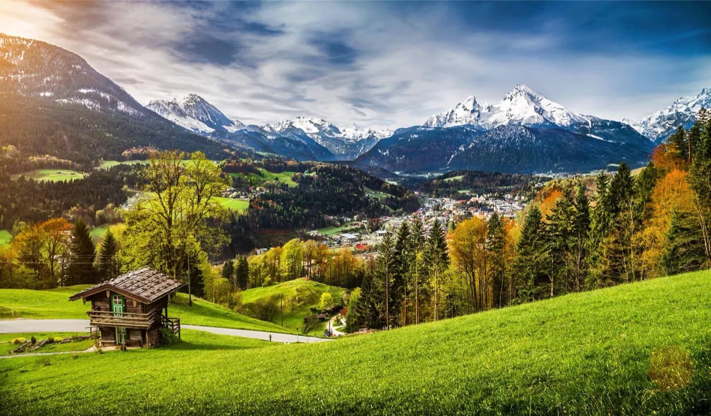
Geography helps you choose sensible combinations. The Rhine, Elbe, Weser, Oder, and Danube trace different corridors; the Kiel Canal links the North and Baltic seas. Lake Constance and the Zugspitze belong to a southern landscape quite unlike the northern lowlands.
The full story
Ice Age processes helped shape the broad lowland plain across northern Germany. Farther south, forested uplands interrupt the flatter terrain, and the Alps rise along the country's southern edge. The Zugspitze is Germany's highest summit. Lake Constance lies at the border with Switzerland and Austria. These changes of relief can make a cross-country journey feel like several distinct trips. Rivers provide another way to read the map. The Rhine runs through western Germany, the Elbe and Weser reach toward the north, the Oder forms part of the eastern frontier, and the Danube runs east from the south. Canals connect waterways; the Kiel Canal provides a passage between the North Sea and Baltic Sea. Conditions also vary. The north has stronger maritime influence, while inland and higher southern areas can be colder. Weather may change quickly even in summer, so a mountain outing needs different preparation from a city visit. Avoid treating one national forecast as a description of every region on your route.