
Why go
Walking beside the water gives a slower view of Glasgow’s built landscape than the main streets do. The canal also connects the city to a much larger coast-to-coast engineering story. Pick an access point and distance that suit your day, then check any towpath diversions.
What to look for
- Towpath views along a chosen Glasgow stretch
- Bridges and canal infrastructure on the walking route
- The contrast between waterway and surrounding urban streets
The full story
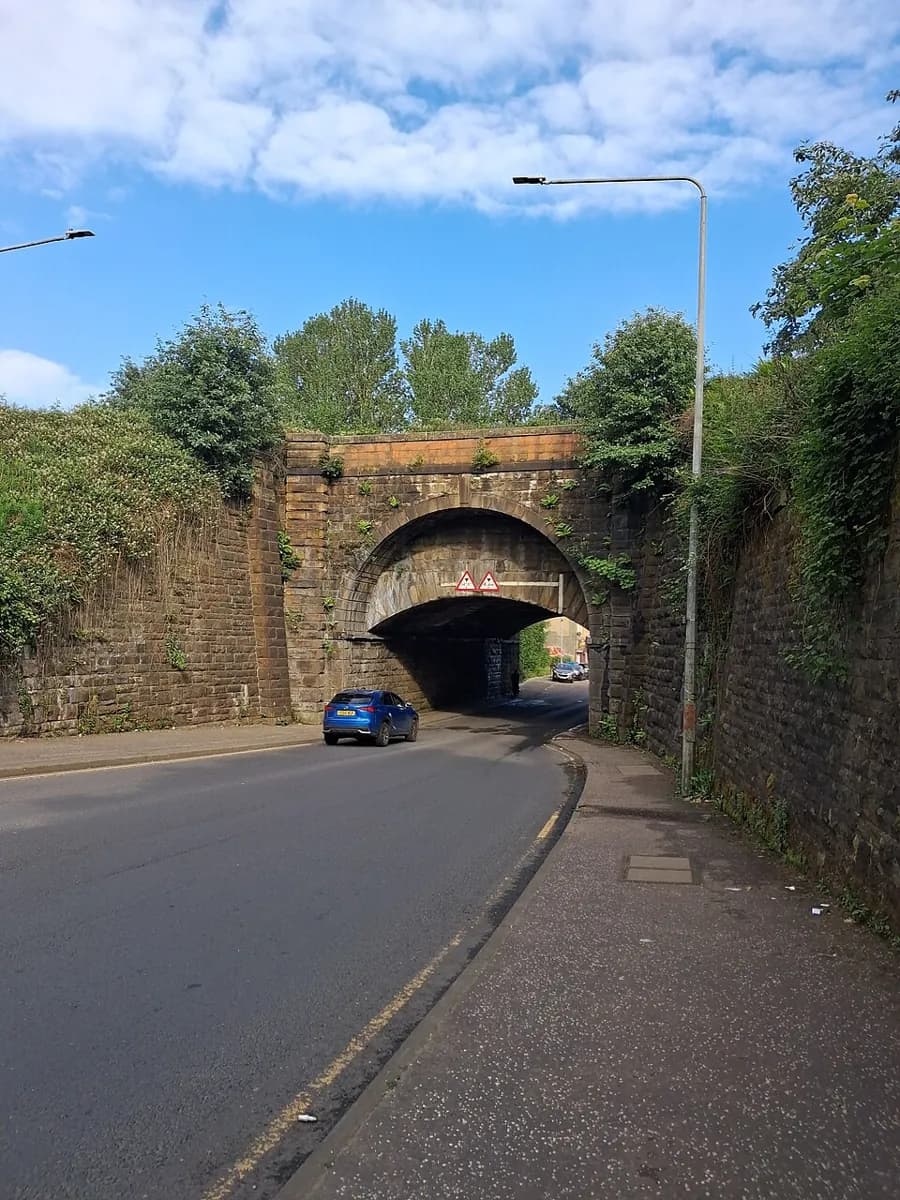
The Forth & Clyde Canal opened in 1790, giving vessels a route between Scotland’s east and west coast waters through the Central Belt. Glasgow’s Port Dundas basin linked the city to that water network. The canal later lost commercial importance as ships grew too large and rail transport expanded; parts eventually fell into disuse before restoration brought navigation and towpath use back. A walk today therefore crosses several eras at once. Water levels, bridges and engineered banks speak to the original transport purpose, while current walkers and cyclists use the same linear corridor for leisure. Its length is the planning challenge: a single map point cannot represent the experience. Select one stretch that fits your energy and transport, and let the canal’s industrial story unfold along that walk.
Useful to know
- Choose a named Glasgow access point and turnaround before setting out.
- Check Scottish Canals stoppage notices for the exact segment you plan to walk.
Your next visit
Estimated · Declared scenario and planning estimates; no live opening, weather, queue or booking service.
Outdoor visit · 30–45 min
World planning estimate; admission, opening, visit duration and access need checking.