
Why go
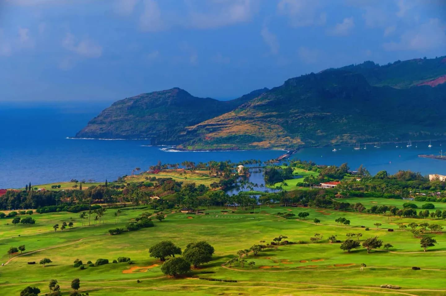
Streams have cut the high center into steep ridges, leaving most visitor movement along the coast. Windward rain supports lush valleys, while the southwest is often drier. The missing road link across the northwest is a real planning constraint; use the existing coastal roads rather than estimating travel from straight-line distance.
The full story
Kauaʻi has had a long time for water to reshape its volcanic foundation. Streams carved deep valleys into the high interior, while waves and reef growth altered the coast. Windward slopes catch abundant rain, supporting dense vegetation and strong river flow; the southwest can be much drier. Much of the central terrain is not crossed by ordinary roads, so two points that look close on a map may require a long coastal drive. This is why region-based planning matters. Notice the landform from a safe public viewpoint, choose routes by real road access, and check rain-related changes before a valley or north-coast outing. The view from a coastal road may change quickly as rain shadows, river mouths and high cliffs come into sight.