
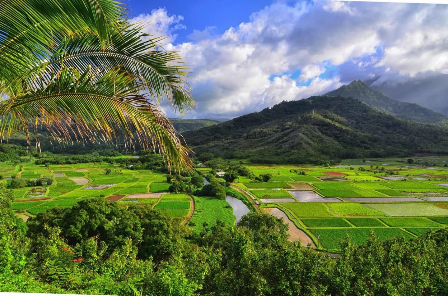
Why go
Līhuʻe is the transport hub; Kapaʻa serves the east side; Poʻipū is a south-coast base; Princeville opens toward the north shore; Waimea leads toward the canyon road. Rain can affect north-shore access, so group sites geographically and keep a flexible alternative when roads or trails close.
The full story
Kauaʻi’s road reaches around much of the coast but does not complete a ring through the northwest. Līhuʻe sits near the main airport and road junctions. Kapaʻa belongs to the east-side corridor; Poʻipū is on the sunnier south coast; Princeville overlooks the north; Waimea opens toward the west and the canyon road. The wet, rugged interior and protected shore make these regions distinct rather than interchangeable. Build a day around one side of the island, then add nearby short stops if weather permits. North-shore rain and managed park access can change plans, so know the legal route and reservation needs before setting off. A north-shore closure cannot be solved by assuming there is an inland shortcut across Kauaʻi’s protected mountain interior.