
Why go
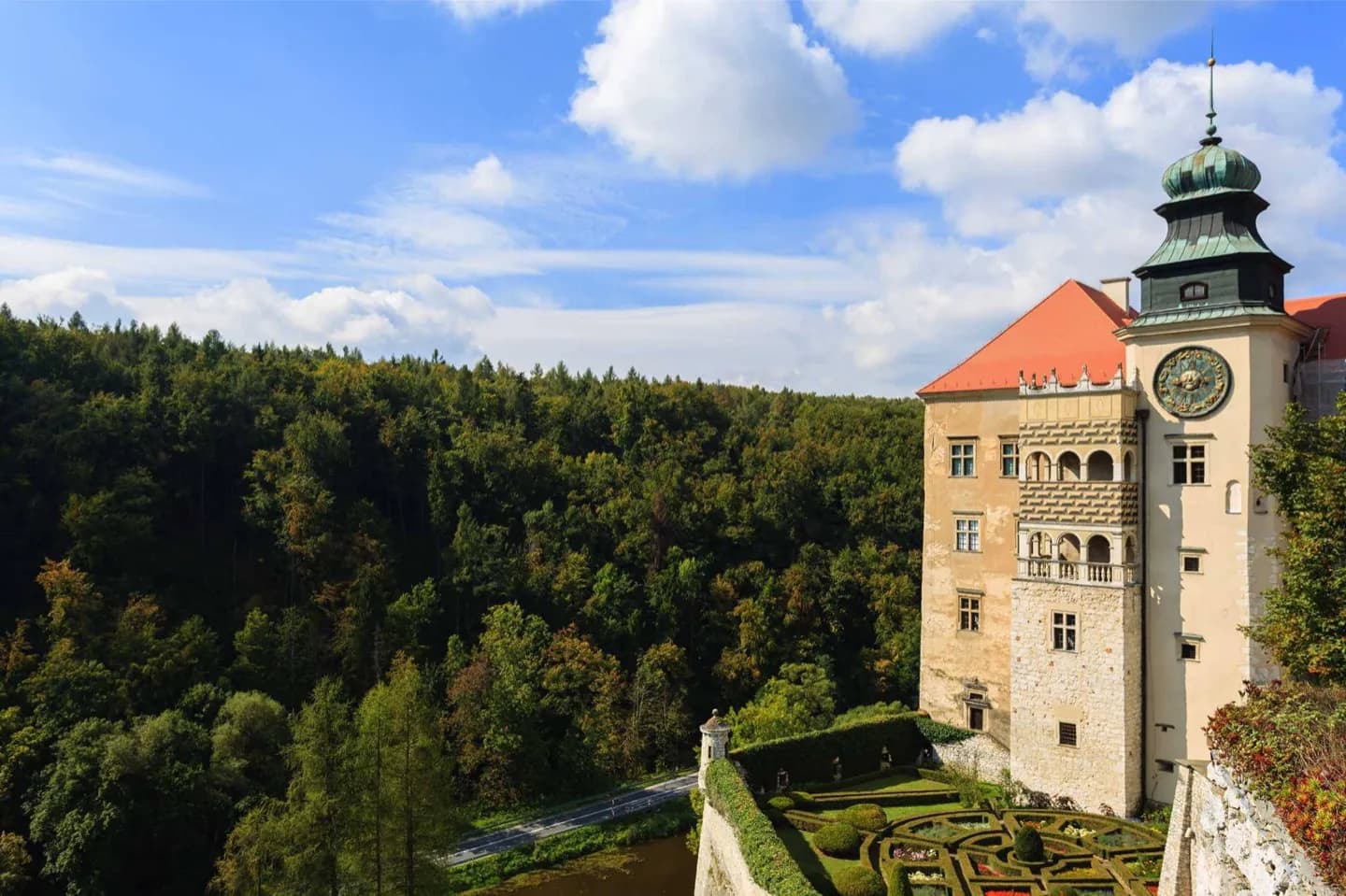
The setting clarifies why the city has both dense historic streets and broad river walks. The Vistula embankments offer an open contrast to the Old Town, while Błonia and Kraków's mounds make the surrounding landscape visible. It also helps place day trips toward the Jura Krakowsko-Częstochowska and the Tatra region.
The full story
Kraków sits about 219 metres above sea level in the Vistula valley. Its centre occupies the river's northern bank, while the wider city reaches toward the Jurassic Rock Upland to the north and the Carpathians to the south. This geography gives the city a useful sequence of scales: narrow medieval streets in the centre, the open Vistula embankments below Wawel, and elevated views from mounds such as Krakus and Kościuszko. Protected areas on the western edge and the Vistula's ecological corridor show that the river is more than a backdrop to the historic centre. They also explain the change from dense stone streets to open meadow and riverside paths. Seasonal conditions can vary between warm summers and cold winters, so check the forecast before committing to long riverside or mound walks.