
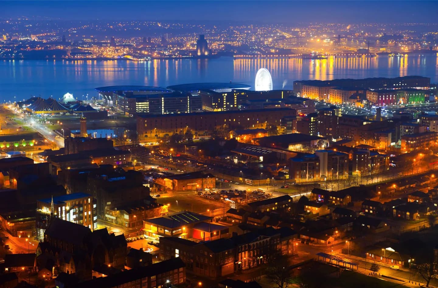
Why go
A Mersey crossing or a pause at Pier Head makes the city’s relationship with the Wirral clear. Inland, the ground rises away from the shore. Allow for exposed weather at the water and use the city’s parks for a different sense of its landscape.
The full story
Liverpool’s location on the Mersey Estuary has shaped its streets, docks and sense of direction. The river separates the city from the Wirral Peninsula before opening towards Liverpool Bay and the Irish Sea. A view from Pier Head or the ferry makes that geography easier to grasp than a map alone. The city also rises inland from the waterfront across sandstone ground, so its landscape is not simply a flat dock edge. Neighbouring districts and settlements extend the urban area beyond Liverpool’s administrative boundary, which is why the wider Merseyside region can feel continuous on the ground. The maritime climate generally brings moderate seasonal temperatures and changeable conditions, but old temperature records are poor guidance for a particular day. Plan an exposed waterfront walk with the day’s forecast in mind. Sefton Park and other green spaces offer a counterpoint to the commercial riverfront, showing another side of the city’s physical setting.