
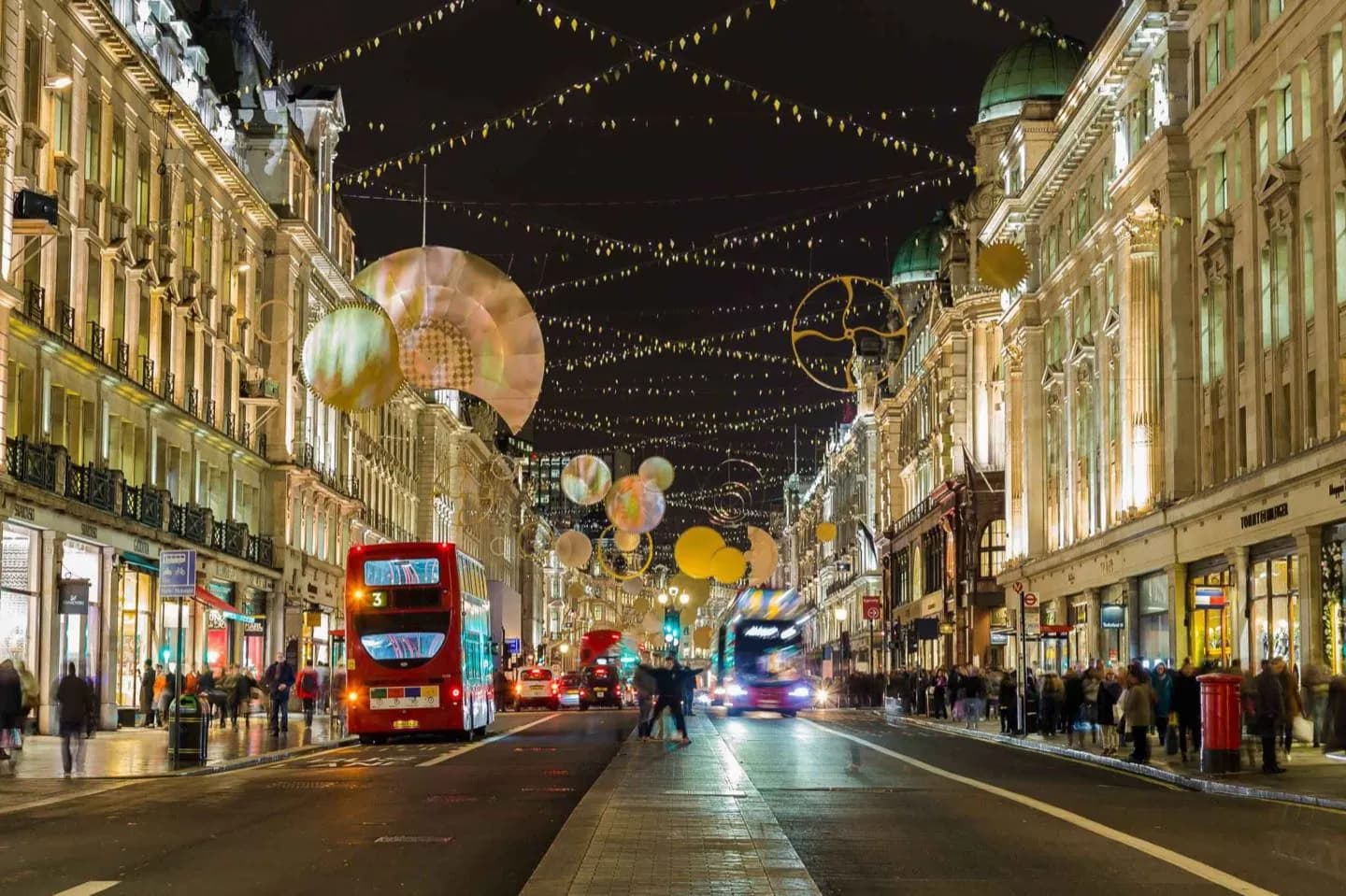
Why go
From there Langham Place and Portland Place continue the route to Regent's Park. In 1766, John Gwynn complained in his work London and Westminster Improved that there was a lack of planning throughout the West End and that it would be useful to construct a thoroughfare linking Marylebone Park (now Regent's Park) with the Prince Regent's Carlton House.
What to look for
- Numerous bus routes, such as 6, 12, and 13, run along Regent Street.
- Beginnings: 1811–1825 Regent Street was one of the first planned developments of London.
- Rebuilding: 1895–1927 During the 19th century, Regent Street became established as the "centre of fashion".
The full story
The street runs from Waterloo Place in St James's at the southern end, through Piccadilly Circus and Oxford Circus, to All Soul's Church. The street was completed in 1825 and was an early example of town planning in England, replacing a number of earlier roads including Swallow Street. Nash's street layout has survived, although all the original buildings except All Soul's Church have been replaced following reconstruction in the late 19th century. The street is known for its flagship retail stores, including Liberty, Hamleys, Jaeger and the Apple Store. Route Regent Street is approximately 0.8 miles (1.3 km) long and begins at a junction with Charles II Street as a continuation of Waterloo Place. The southern section of the road is one-way northbound and part of the A4, a major road through West London.
Your next visit
Estimated · Declared scenario and planning estimates; no live opening, weather, queue or booking service.
Outdoor visit · 45–90 min
World planning estimate; admission, opening, visit duration and access need checking.