
Why go
Geography is the key to planning here. Funchal lies on Madeira’s south coast; the north side faces different weather and terrain. Porto Santo, the other inhabited island, offers a contrasting, lower landscape. The uninhabited Desertas are part of the same island group.
The full story
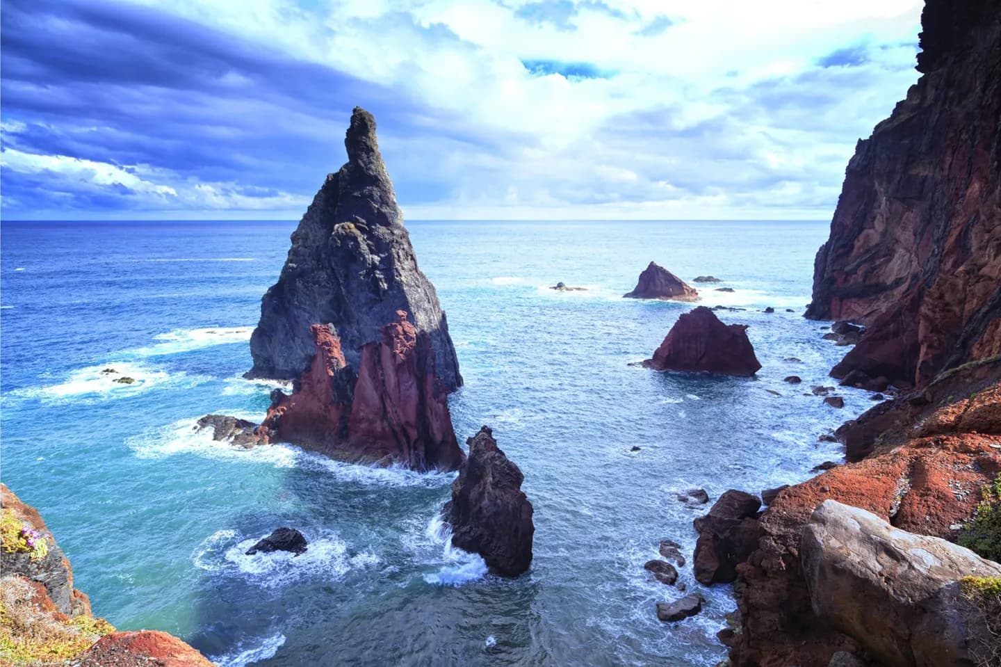
The main island is volcanic and rises sharply from the Atlantic. A central mountain ridge splits it into northern and southern sides, while ravines run down toward coastal settlements. This shape explains the succession of cliffs, valleys and short stretches of accessible shore. Pico Ruivo is Madeira’s highest peak; the lower eastern end of the island has a more open profile. Funchal occupies a south-coast hollow beneath rising hills, so even a city visit has a strong sense of slope. Porto Santo is much smaller and less rugged, with a long beach that changes the purpose of a visit. The Desertas, including Deserta Grande and Bugio, are uninhabited islands rather than alternative town bases. Use the archipelago as a set of contrasting landscapes, not as one continuous coastline you can easily follow on foot.
Useful to know
- Allow extra travel time when crossing between the south coast, mountain interior and north coast.