
Why go
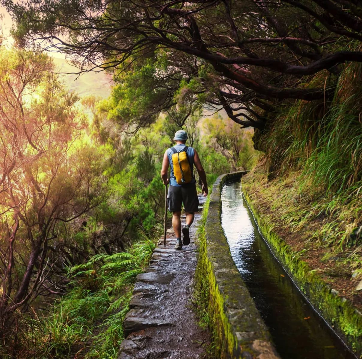
The channels connect the wetter north and highlands with farmland in drier parts of the island. Following one lets you read that water system in the landscape. Compare a gentler route such as Levada do Caniçal with the longer, tunnelled Caldeirão Verde route before choosing a walk.
The full story
Madeira’s slopes create an uneven bargain: much of the water falls in the north and mountains, while useful agricultural land also lies on drier southern slopes. Builders began cutting levadas across the island centuries ago to carry that water toward fields. Their gentle gradient helps water flow steadily over long distances, even where the channel must cross a valley or pass through a tunnel. Maintenance paths beside the channels later became walking routes. They were built to serve water, however, not to make every outing equally comfortable. Some stretches are broad and calm; others run beside drops or through dark tunnels. The levadas also show how farming, settlement and engineering fit together in a steep volcanic landscape. When walking one, notice the channel’s quiet slope and the changes in terrain it negotiates. Choose the specific path for your ability and conditions, rather than assuming all levada walks are alike.
Useful to know
- Check the current route condition and tunnel requirements before setting out.
- Treat exposed ledges and long tunnel sections as a different walk from a gentle levada path.