
Why go
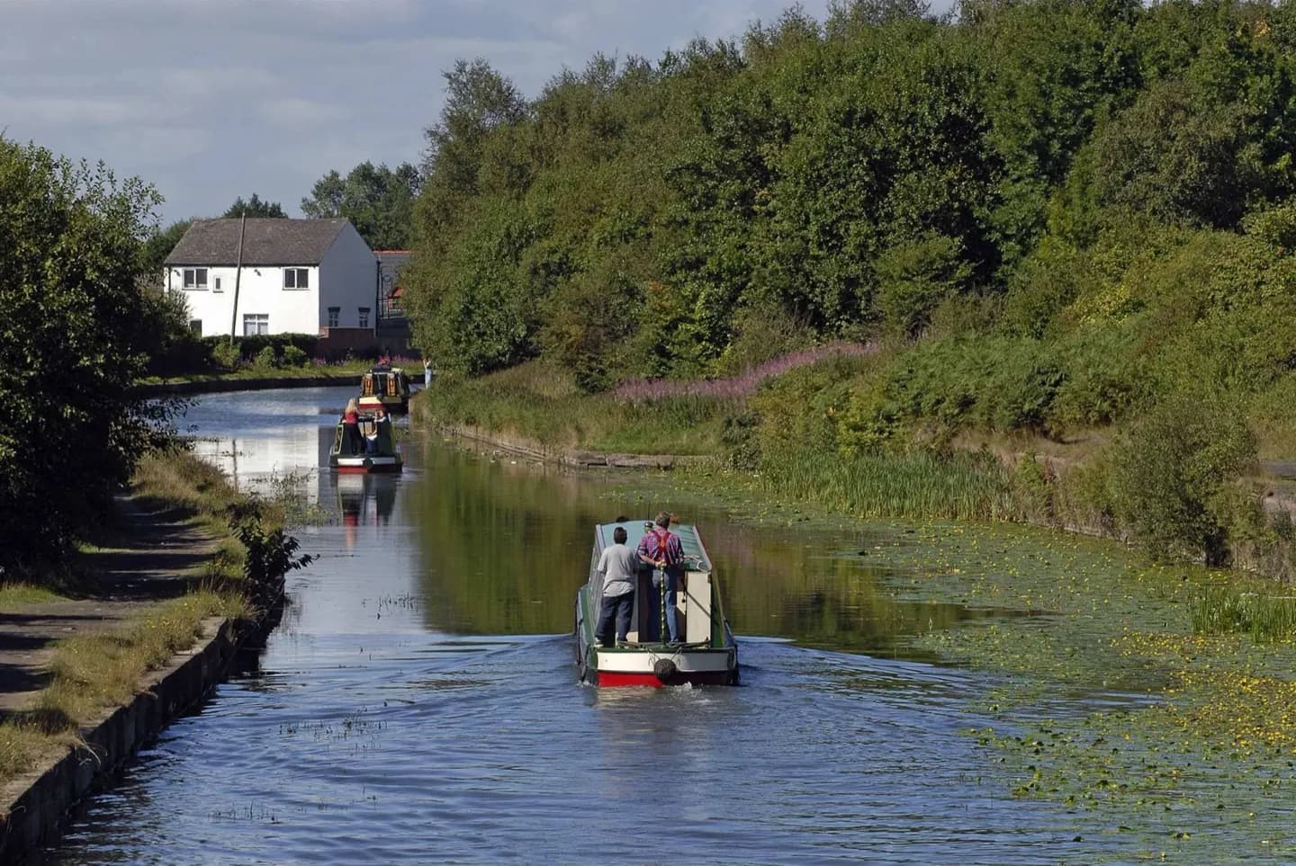
A canal-side walk turns Manchester's industrial story into a visible route. The waterway was built to move coal from Worsley towards Manchester, and its surviving towpath now gives walkers a slower way to see bridges, basin edges and adjoining neighbourhoods.
What to look for
- Historic bridges cross the towpath at intervals.
- The waterside path follows a route once used for coal transport.
The full story
The Bridgewater Canal was commissioned by the Duke of Bridgewater to carry coal from his Worsley mines towards Manchester. Its first section opened in 1761, before later extensions created a much longer waterway through north-west England. Moving heavy fuel by canal helped supply a city expanding through industry, and the success of the route encouraged further canal building. The waterway's bridges and towpaths remain useful clues to that earlier transport system. In Manchester, a short stretch can be read together with Castlefield's basin, warehouses and later railway structures. The contrast is instructive: canals were once a practical answer to the problem of moving bulky goods, then railways changed the speed and scale of travel. Pleasure craft and walkers use the canal today, but its route still follows the logic of eighteenth-century trade. A section walk is enough to notice that history without taking on the full length of the canal.
Useful to know
- Choose a specific towpath section rather than trying to follow the entire canal.
- Check canal operator notices for restrictions on the section you plan to walk.
- Wear footwear suited to outdoor towpaths and changing surface conditions.
Your next visit
Estimated · Declared scenario and planning estimates; no live opening, weather, queue or booking service.
Outdoor visit · 30–45 min
World planning estimate; admission, opening, visit duration and access need checking.