
Why go
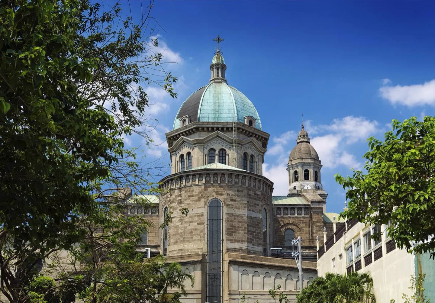
Read this before walking from Fort Santiago to Manila Cathedral, then beyond the walls toward Binondo. The contrast between the fortified Spanish center and neighboring commercial districts is easier to read when you know that Manila was never confined to Intramuros.
The full story
The Pasig River linked settlements and trade around Manila Bay long before Spanish rule. Tondo and Maynila were part of that earlier landscape. Their story gives Binondo and the riverfront more depth than a simple account of the walled city can offer. Spain made Intramuros its fortified administrative center. Manila then became the Asian end of the galleon trade with Acapulco. Goods and people moved across the Pacific, while Chinese merchants and communities remained central to commerce near the Spanish enclave. The walls marked political power; they did not contain all of Manila’s daily life. Under American rule, the city was planned and administered across a wider group of districts. World War II devastated much of Manila, especially its historic core. Rebuilding left a city where surviving churches, defensive walls, street patterns and newer structures sit close together. At Fort Santiago and San Agustin Church, look for what endured. Outside Intramuros, notice how Binondo, Quiapo and other districts tell parts of the same story from beyond the old colonial center.