
Why go
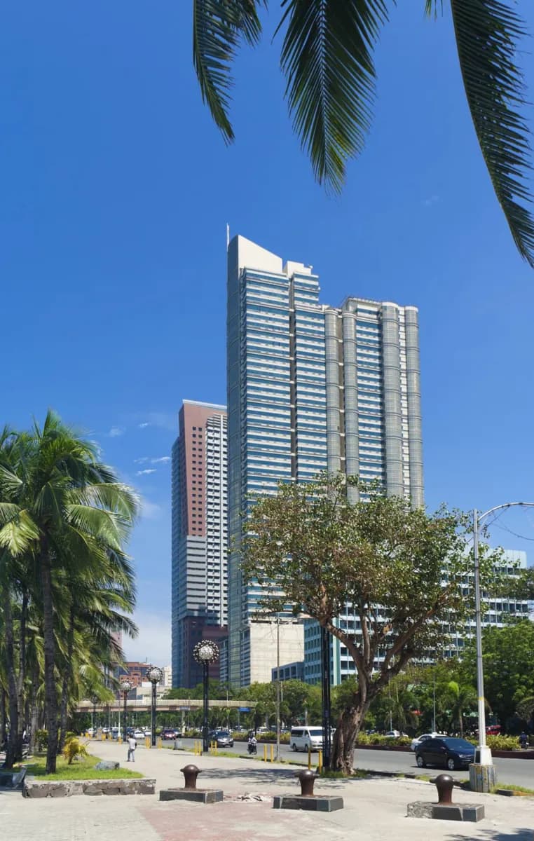
The bay edge offers a different perspective on central Manila from the inland streets of Intramuros or Malate. It also traces an early twentieth-century vision for a landscaped seafront boulevard. A short section near Rizal Park can add bay context to a civic-history walk; access along the waterfront may vary by stretch.
What to look for
- Manila Bay views from accessible waterfront sections.
- The connection between the Rizal Park area and Malate along the coast.
The full story
Roxas Boulevard is both a major road and a way to read Manila’s relationship with its bay. Architect Daniel Burnham’s early twentieth-century plans imagined a broad seafront boulevard shaped by views of the water, open sky and planting. The built corridor changed as traffic increased and the waterfront developed, but its bay-facing orientation still explains why the road matters in the city’s plan. From the Rizal Park area, the coast also connects toward Malate, linking a civic landscape with a different urban neighborhood. Looking at one stretch is more useful than treating the entire road as a single promenade. Notice where the view opens, where traffic separates you from the water, and how public access changes along the edge. These contrasts show both the original ambition for the waterfront and the practical limits of experiencing it today.
Useful to know
- Pick a particular waterfront section before setting out; the road runs far beyond central Manila.
- Check current waterfront access where construction or events could affect the chosen stretch.
- Allow for sun and rain exposure on the bay edge.
Your next visit
Estimated · Declared scenario and planning estimates; no live opening, weather, queue or booking service.
Outdoor visit · 30–45 min
World planning estimate; admission, opening, visit duration and access need checking.