
Why go
España Boulevard, Recto Avenue, Legarda Street and Mendiola Street outline a practical orientation to the campus cluster. The University of Santo Tomas and San Sebastian Church give the area named historical and architectural anchors beyond a simple list of schools.
The full story
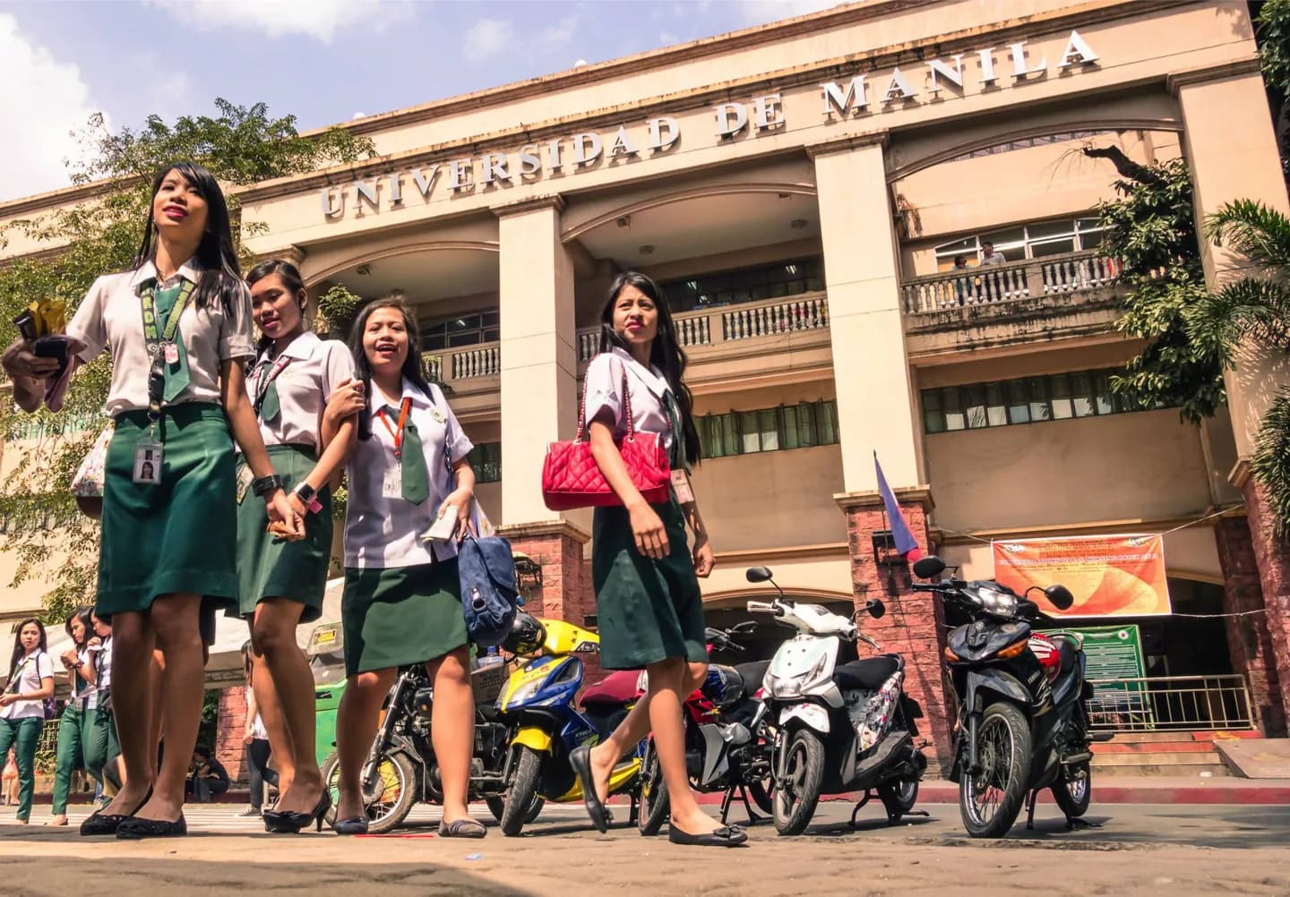
“University Belt” is a local shorthand for a concentration of colleges and universities rather than a sharply bounded administrative district. Its core lies around parts of Sampaloc and San Miguel, reaching toward Quiapo and Santa Cruz. Streets such as España Boulevard, Recto Avenue, Legarda Street and Mendiola Street help locate it on a map. The University of Santo Tomas is a major historic institution in this wider area. San Sebastian Church offers another landmark near the campus streets, with a very different architectural purpose. Seeing both makes the belt more than a directory of school names: education, worship and ordinary city life share the same streets. The term is sometimes used more loosely for other Manila campus clusters, including Taft Avenue and Intramuros. Those are useful comparisons, but they are not all one short pedestrian zone. If your aim is to understand the University Belt itself, keep the focus on its central streets and nearby institutions. Add Quiapo only when you have time for a fuller walk; its church and market streets have their own strong character.
Useful to know
- Use the central España, Recto, Legarda and Mendiola corridors for orientation.
- Treat Taft Avenue and Intramuros campus clusters as separate walks.