
Why go
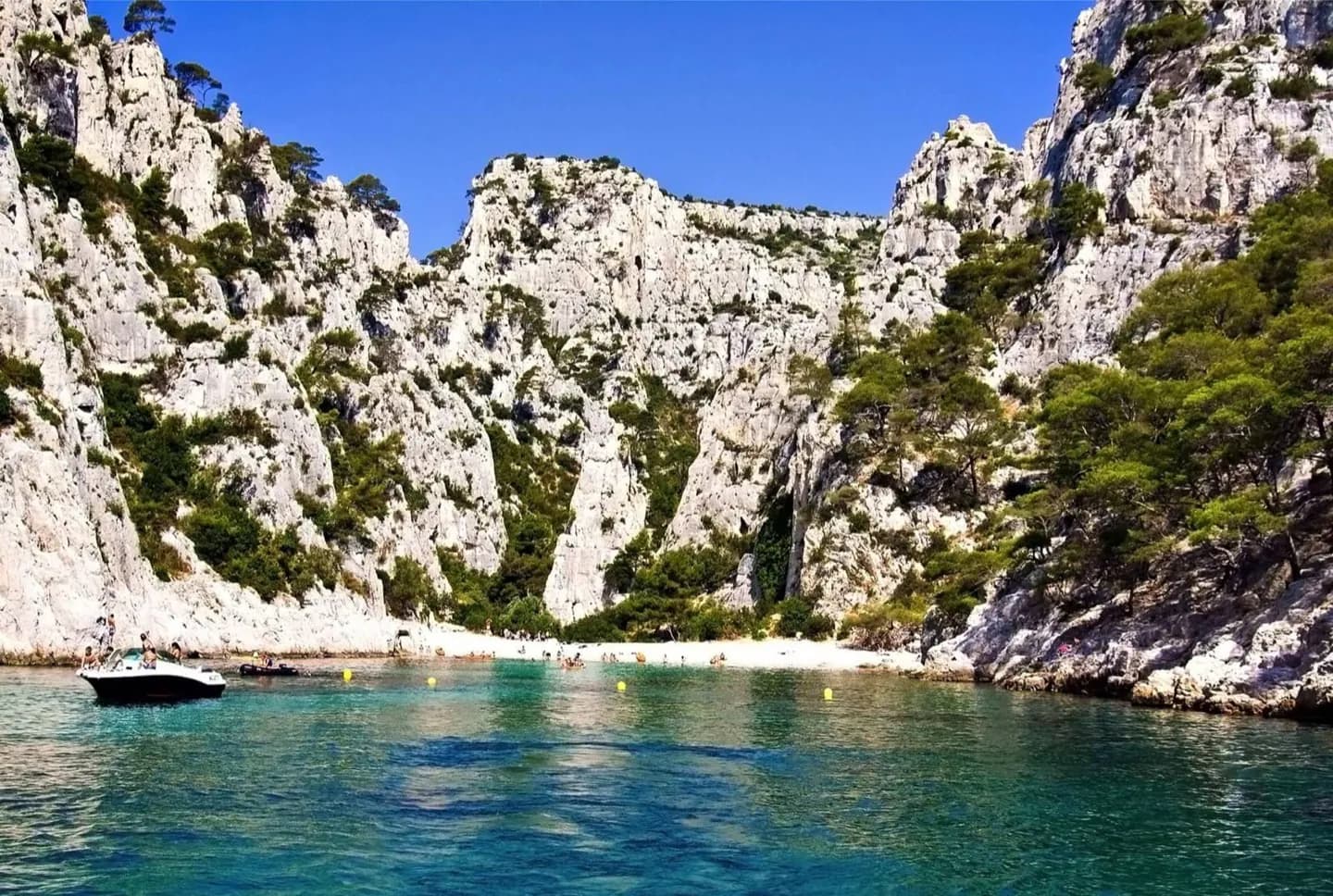
The harbour is a useful starting point: Fort Saint-Jean and Fort Saint-Nicolas frame its entrance, La Canebière runs east, and Notre-Dame-de-la-Garde rises to the south. Beyond the centre, the Calanques stretch towards Cassis through rocky coastal terrain. This geography explains why a museum day and a coastal day need different pacing.
The full story
Marseille faces the Mediterranean, but the shore is far from uniform. The Old Port sits inside a harbour entrance marked by Fort Saint-Jean to the north and Fort Saint-Nicolas to the south. Inland, La Canebière leads east from the water; north of the centre is Saint-Charles station, while the hills to the south carry Notre-Dame-de-la-Garde. These landmarks give a visitor a practical map before leaving the central streets. East of Marseille, the Calanques begin around Callelongue and continue towards Cassis as a rugged sequence of inlets and cliffs. West of the city lie L'Estaque and the Côte Bleue. The climate also changes the feel of a day outdoors. Summers are hot and dry, while winters are milder and wetter. The Mistral is a cold wind most associated with winter and spring. On an exposed coastal walk, wind and sun matter more than they do on a short circuit around the harbour.
Useful to know
- Keep the Old Port, Le Panier and La Canebière together for a central walk.
- Treat a Calanques outing as a separate plan; the rocky coast is more exposed to heat and wind.