
Why go
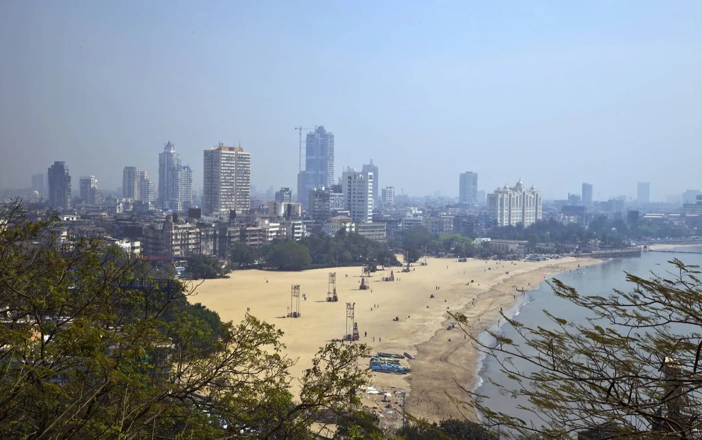
Understanding the former islands makes the waterfront and the city’s northward spread easier to read. The port, colonial-era engineering and later commercial growth all left marks that are visible around Fort, Colaba and the Gateway of India today. It also explains why the old civic core lies close to the shoreline.
The full story
Mumbai grew from a group of islands on India’s west coast. Fishing communities lived here before Portuguese and then British control changed the area’s political and commercial direction. Land reclamation gradually joined the islands, giving the city a more continuous form and room to expand. Its deep natural harbour helped make Bombay an important trading centre, while nineteenth-century public works and institutions shaped the older southern districts. The city also became a centre of India’s independence movement. After independence, Bombay became the capital of the new state of Maharashtra in 1960; the official name changed to Mumbai in 1995. These layers are useful to hold in mind around the harbour, Fort and Colaba. The shoreline, civic buildings and commercial streets belong to different periods of one evolving city, rather than a single planned centre.