
Why go
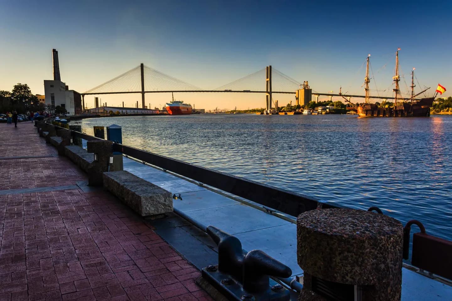
Use the riverfront and bluff to orient yourself before exploring the squares. The city's proximity to the coast makes Tybee Island a distinct outing, while summer humidity and thunderstorms can change how much downtown walking feels comfortable, especially across exposed waterfront stretches.
The full story
The Savannah River runs along the north side of the historic district, roughly twenty miles from its Atlantic outlet. River Street occupies the waterfront below the higher town, so a short map distance can involve a climb between the two levels. The river is more than a backdrop: Savannah developed as a port, and the waterfront remains the clearest place to see its link to trade. Beyond downtown, the landscape opens toward tidal waterways and the coastal islands. Tybee Island and its light station belong to that broader setting, though they require a different kind of visit from the compact squares. Savannah has a humid subtropical climate, with long, damp summers and frequent warm-season thunderstorms. Flooding has also shaped the city; canals and pumping stations were built to drain different parts of the urban area. These conditions make the geography useful for planning: riverfront, downtown grid and coast are related, but they should not be treated as one effortless walk.