
Why go
Use the squares to understand downtown at street level. Johnson Square and Wright Square recall the first layout, Ellis shows a later recovery, and Telfair ties the grid to one of Savannah's museum families. The contrasts reward a slow walk more than a checklist.
The full story
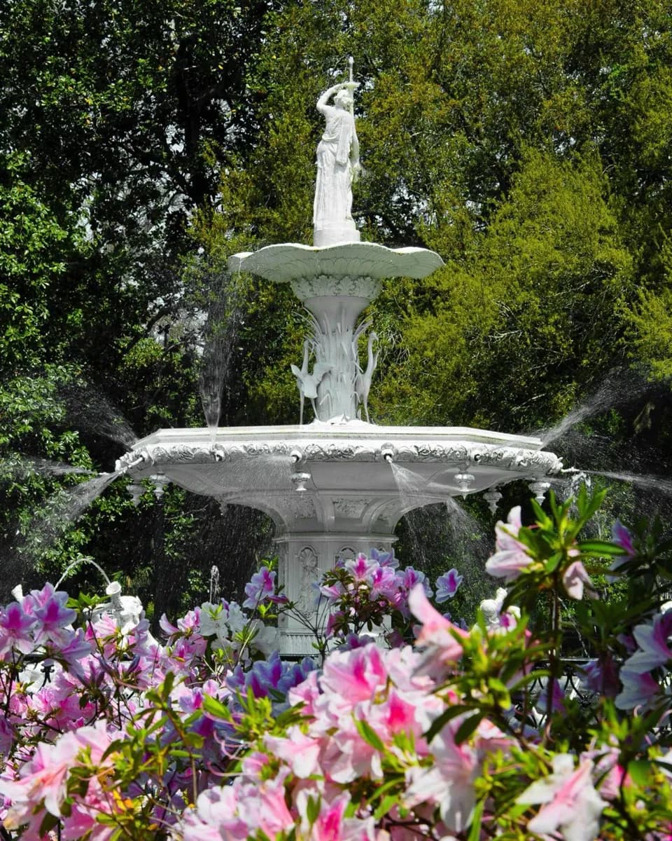
When Savannah was laid out in 1733, four open squares formed the heart of its first wards. A ward paired a square with surrounding residential and civic blocks, making public space part of the town's structure rather than an occasional ornament. Johnson, Percival, Ellis and St. James were the first four; Percival became Wright Square, and St. James became Telfair Square. The pattern extended as the city grew through the eighteenth and nineteenth centuries. The squares also changed. Some were lost to later development, while Ellis Square was reclaimed in 2010 after a parking garage had occupied the site. Telfair Square carries the name of a family closely linked to Savannah's art museum, and Monterey Square connects a later part of the plan to Mercer House and the city's literary image through Midnight in the Garden of Good and Evil. Farther south, Forsyth Park took the role of a larger common green as expansion moved beyond the square grid. Walking several squares in sequence shows both the plan's consistency and the distinct histories layered onto it.