
Why go
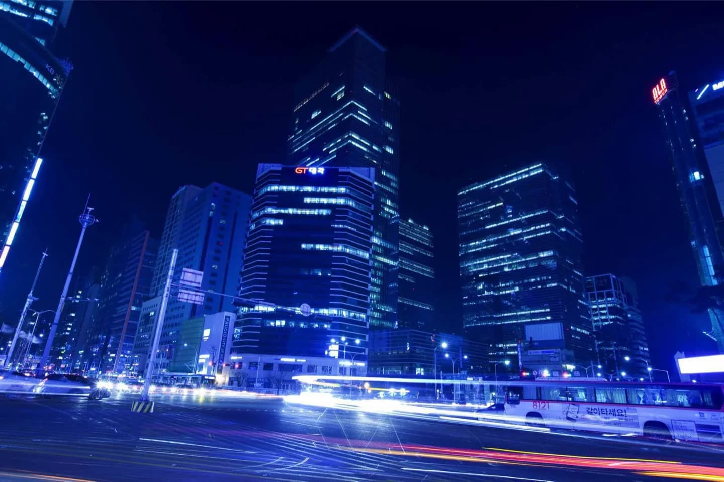
Jongno is valuable less as one attraction than as a way to understand central Seoul's structure. Following sections of the corridor connects Gwanghwamun, Bosingak, Tapgol Park, Jongmyo and Heunginjimun while revealing how palace-era geography still organizes a modern commercial city.
What to look for
- Bosingak belfry explains the name Jongno, commonly rendered as Bell Street.
- The corridor runs from the Gwanghwamun area toward Heunginjimun in the east.
- Palace edges, civic landmarks and commercial blocks alternate along the route.
The full story
Jongno means “Bell Street,” a name tied to Bosingak, the belfry that once helped regulate daily life in the capital. The road developed as one of Seoul's principal east–west routes, linking the civic and royal core around Gwanghwamun with Heunginjimun, the old eastern gate. That alignment still makes it a useful line through the city. Rather than searching for a single defining view, watch the character change block by block. Formal monuments and palace precincts give way to shops, office towers, side lanes and older public spaces such as Tapgol Park. Jongmyo sits close to the route, while Cheonggyecheon parallels parts of it just to the south. Walking a selected stretch makes Seoul's layers legible: the capital's gates and ceremonial institutions remain present, but they now share the corridor with everyday commerce and dense transport. Its value lies in those transitions rather than in any one coordinate.
Useful to know
- Treat the map point as orientation only; Jongno is an extended corridor, not a single stop.
- Choose one section to walk and use the subway for longer jumps along the east–west axis.
- Combine the central stretch with Cheonggyecheon, which runs close by to the south.
Your next visit
Estimated · Declared scenario and planning estimates; no live opening, weather, queue or booking service.
Outdoor visit · 30–45 min
World planning estimate; admission, opening, visit duration and access need checking.