
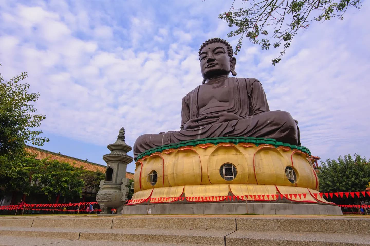
Why go
Taipei, New Taipei and Keelung form the northern urban area, while Penghu, Kinmen and Matsu extend the destination beyond the main island. That layout explains why a city break, a mountain journey and an island trip demand different pacing. The country’s layered history also helps make sense of the names and buildings encountered along the way.
The full story
The main island lies across the Taiwan Strait from the southeastern Chinese coast. Japan is to the northeast and the Philippines to the south. Taipei is the seat of the central government and sits within a wider northern metropolitan area that includes New Taipei and Keelung. Away from that urban core, a long mountain system divides the populated western plains from the eastern side of the island. Penghu lies in the strait; Kinmen and Matsu are further island groups under the same administration. Taiwan’s built landscape also carries several historical layers. Indigenous communities preceded the Dutch and Spanish footholds of the seventeenth century. Han migration expanded under later rulers, and Japanese rule from 1895 to 1945 left transport and institutional legacies. The Republic of China government took control after the war and relocated to Taipei in 1949. For travel planning, these layers are most useful when tied to places: old port sites in Tainan, Japanese-era infrastructure, and museums and memorials in Taipei.