
Why go
The Tromsø Bridge and Tromsøysund Tunnel connect the island with the mainland; the Sandnessund Bridge links it to Kvaløya. This layout explains the Arctic Cathedral’s position opposite the centre and why a western-island or mountain outing is a different scale from a walk among central buildings.
The full story
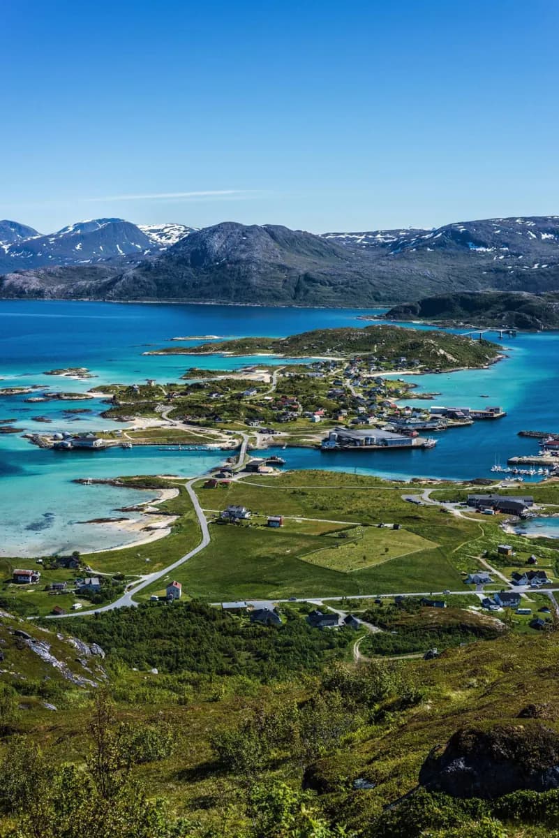
The city centre is on the eastern shore of Tromsøya. Across Tromsøysundet to the east is mainland Tromsdalen; to the west lies the much larger island of Kvaløya. Road links stitch them together: the Tromsø Bridge and Tromsøysund Tunnel reach the mainland, while the Sandnessund Bridge crosses west to Kvaløya. This geography is more useful to a visitor than a single boundary around “Tromsø.” The compact centre, with Tromsø Cathedral and older streets, is only one part of the wider urban area. The Arctic Cathedral stands across the sound, where its relationship to the island skyline is easy to see. Beyond these built areas, the municipality includes high mountains, other islands and several fjords. Tromsdalstinden is a prominent mainland mountain visible from the city centre; Sommarøya belongs to the wider island landscape rather than the central town. Keep city, island and municipality distinct when assessing how much ground an outing covers. What looks like one destination name on a map can describe a short urban walk or a much broader coastal journey.
Useful to know
- Group centre sights on Tromsøya before adding a separate mainland or Kvaløya stop.