
The full story
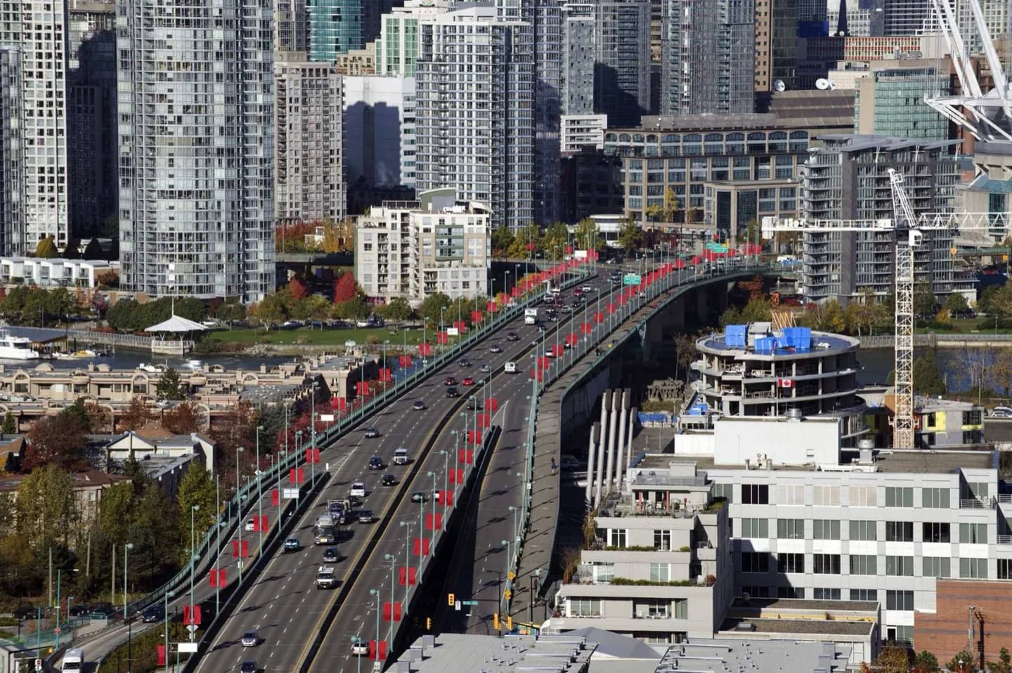
Most streets run north–south and numbered avenues east–west, with East and West divided around Ontario Street. Downtown follows its own angled grid and is surrounded by water, so a limited set of bridges carries much of the traffic. Congestion builds during weekday peaks, sunny weekends and stadium events; a short distance on the map can therefore take much longer than expected. Parking restrictions vary block by block, and curb signs take priority over assumptions from neighbouring streets. For central sightseeing, leave the car parked and walk or use transit. Driving becomes more useful for dispersed west-side stops, parts of the North Shore and regional excursions, though even those routes can bottleneck at bridges. Plan fuel, parking and the return route before entering Stanley Park or a busy event district. Consult live municipal and provincial traffic information for closures, construction and mountain-road conditions rather than relying on fixed travel-time estimates.