
Why go
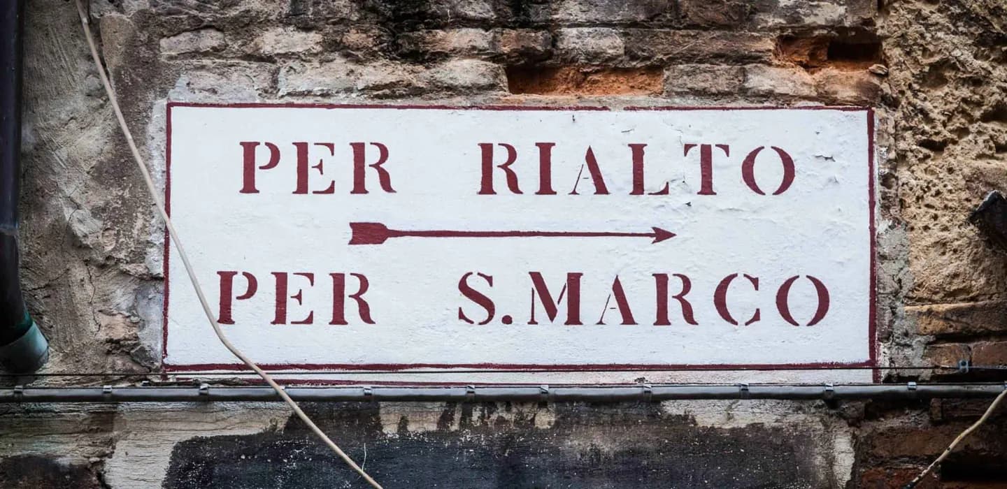
Wayfinding is part of the experience because Venice’s islands and canals interrupt straight routes. Knowing the main anchors—Rialto, Piazza San Marco, Accademia, Santa Lucia station and Piazzale Roma—helps you recover direction, while vaporetto stops connect the walking city to the Grand Canal and lagoon.
What to look for
- Venice’s six sestieri give the historic centre a useful geographic structure.
- Rialto, Piazza San Marco, Accademia and Santa Lucia station are reliable orientation anchors.
- Water stops link walking routes with the Grand Canal and lagoon islands.
The full story
Venice is built across islands joined by bridges, so a map’s shortest line is rarely a useful walking instruction. Canals divide the city into small pieces, and a bridge may be several turns away from the water you can see. Start with the sestieri, Venice’s six historic districts, then use large anchors to reset your direction: Rialto for the commercial centre, Piazza San Marco for the ceremonial east, Accademia for a key Grand Canal crossing, and Santa Lucia station or Piazzale Roma at the landward edge. Water transport adds another layer, linking stops along the Grand Canal and out to the lagoon islands. A navigation app helps, but the strongest habit is to notice signs, bridge names and nearby water stops before committing to a long detour.
Useful to know
- Use a nearby bridge or water stop as a checkpoint before following a long route.
- Expect canals to force detours; do not judge walking time by a straight-line map distance.
- Save your accommodation’s closest water stop and district name before setting out.