
Why go
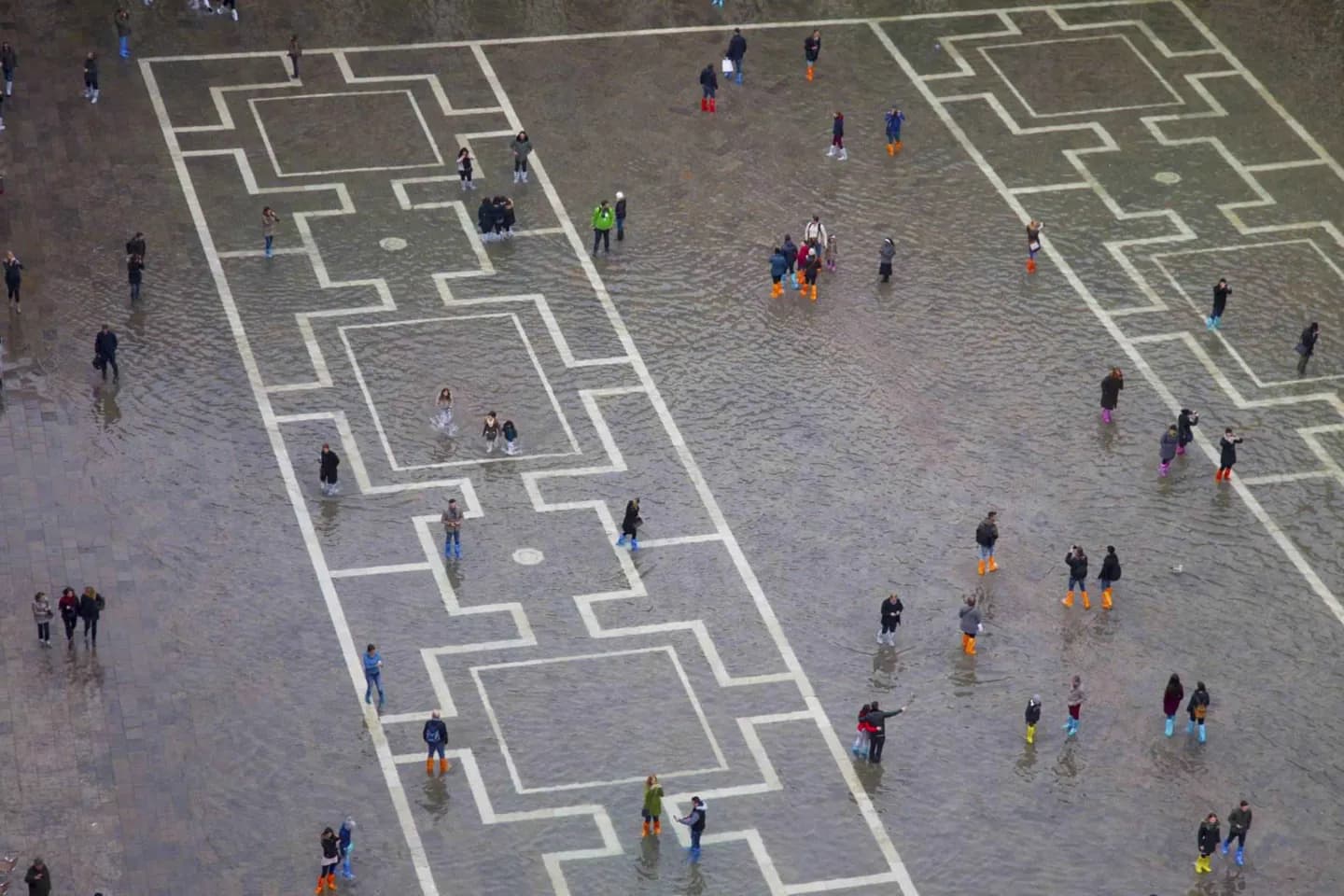
This square makes Venice’s relationship with water immediately visible. Its paving, drainage and low-lying setting show why high tides are a planning concern as well as a historical one. The experience can be striking, but a flexible route matters more than treating flooding as spectacle.
What to look for
- The square’s low setting makes high water especially visible.
- The Loggetta by the Campanile appears in accounts of exceptional tides.
- Pavement and drainage show long-running adaptation to water.
The full story
High water has repeatedly reached Piazza San Marco, whose low, open surface is especially exposed within the historic centre. Accounts of exceptional tides record water reaching the Loggetta by the Campanile, while later study used earlier events to understand how sea level, subsidence and rebuilding changed the picture. The numbers matter less to a visitor than the visible consequence: water can transform an ordered stone square into a place where routes, thresholds and everyday movement must adapt. The pavement itself reflects a long effort to improve drainage and raise vulnerable ground. Check present conditions before making the square the fixed centre of a walk. Its openness makes water highly visible, but the same conditions can also affect less dramatic nearby passages.
Useful to know
- Check current high-water notices before committing to a Piazza San Marco route.
- Use alternate streets if water affects the lowest approaches or exits.