
Why go
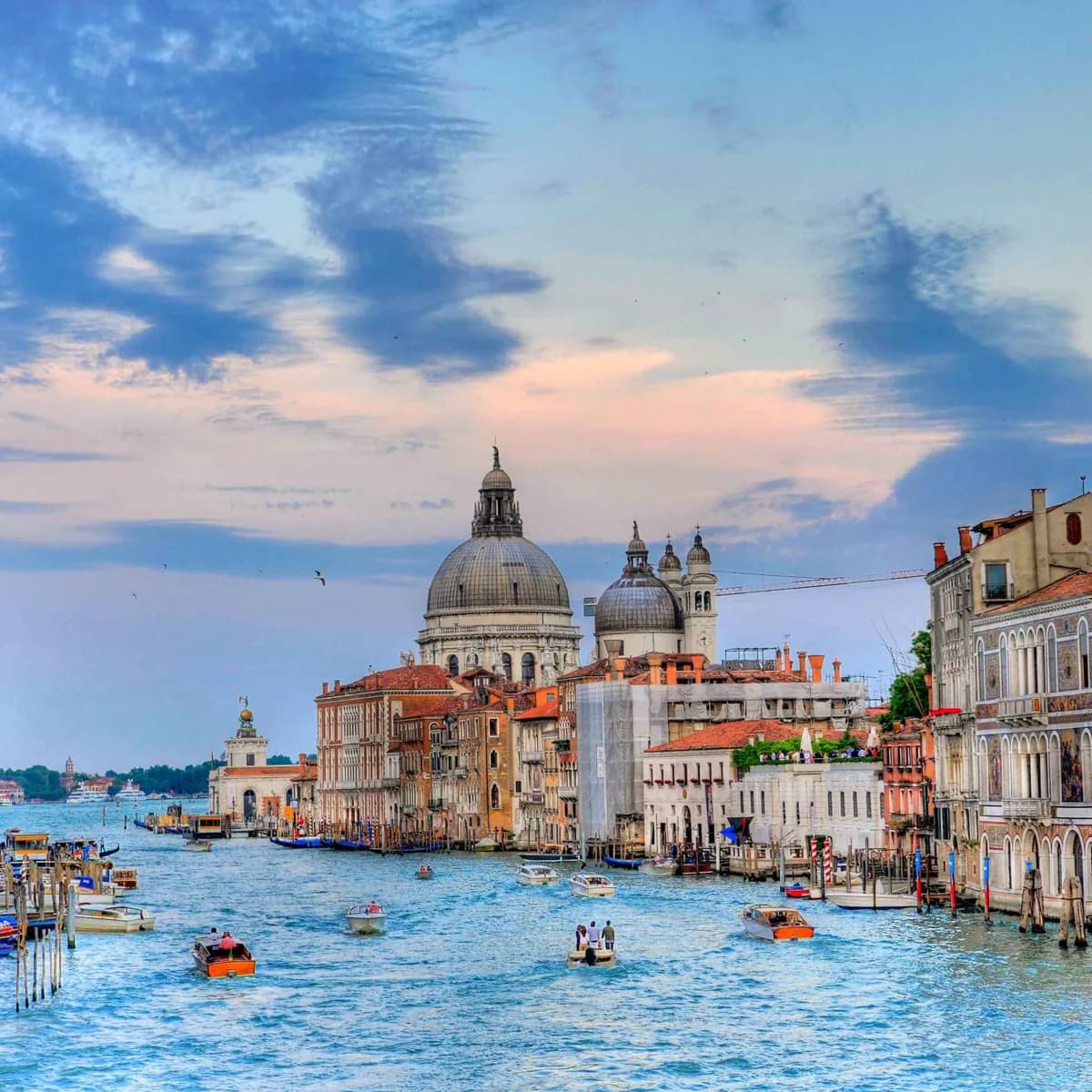
A journey on the canal gives the clearest introduction to Venice's geography. It crosses several sestieri, links the rail end of the city to the basin by St Mark's, and passes palaces whose fronts were designed for arrival by boat. The trade-off is pace: it is transport and sightseeing at once.
What to look for
- The canal follows a broad reverse-S through the historic center.
- It links the Santa Lucia side of Venice with St Mark's Basin.
- Water buses, water taxis, and gondolas share the canal's central route.
The full story
The Grand Canal is Venice's main water corridor, running in a broad reverse-S between the Santa Lucia end of the city and St Mark's Basin. Unlike a ceremonial boulevard on land, it is a working route: public water buses, private boats, deliveries, and gondolas all use the same waterway. Its banks are lined with palaces whose façades were meant to be seen from the water, often with entrances emerging directly from the canal rather than from a pavement. The canal also divides and connects the city. It passes through central sestieri and forces walkers to think about crossings, while boat passengers see a continuous sequence of Gothic, Renaissance, and later buildings. Use it early in a stay if possible. It gives a practical map of Venice's layout and a visual introduction to the wealth generated by its mercantile past.