
Why go
Venice's public network is most useful when walking would mean too many bridges, a canal barrier, or an island crossing. It connects Piazzale Roma, Santa Lucia, Rialto, San Zaccaria, Murano, Burano, Lido, and other points that are not one continuous walk. Use it as a route-planning tool, not merely sightseeing transport.
What to look for
- Vaporetti operate on the canals and across the lagoon.
- Piazzale Roma, Santa Lucia, Rialto, and San Zaccaria are major central reference points.
- Fondamente Nove is a key departure area for northern lagoon islands.
The full story
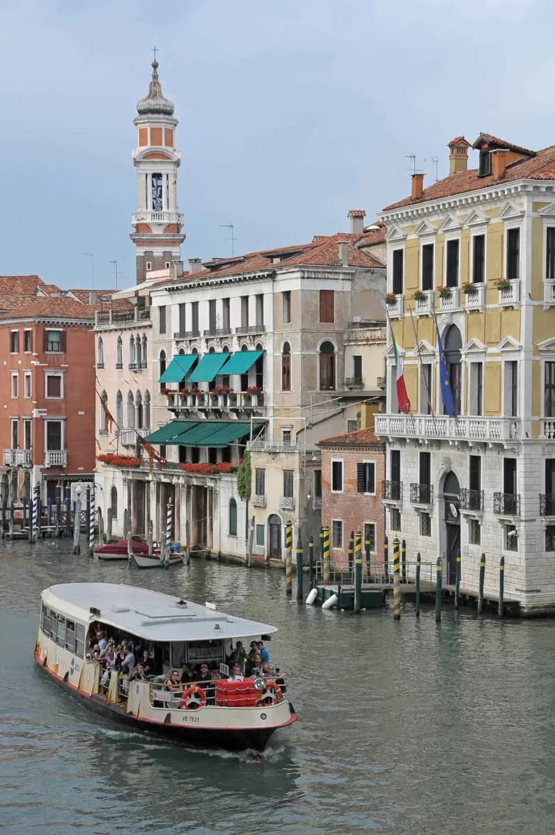
Public transport in Venice works on water as much as on land. Vaporetti connect the western arrival points at Piazzale Roma and Santa Lucia with Rialto, San Marco, Castello, Giudecca, Lido, and the outer lagoon islands. Their value is not simply speed. They bridge the breaks in Venice's geography: a canal that would force a long detour to a bridge, an island beyond the walking city, or a hotel reached awkwardly with luggage. The same system reaches the mainland edge, so it links the historic center to a wider municipality rather than serving a closed tourist circuit. For northern lagoon trips, Fondamente Nove is an important reference point; for the central city, the Grand Canal stops form a useful spine. Routes and service patterns can change, so durable planning means learning the map and checking the official timetable close to departure.
Useful to know
- Consult the official timetable and route map on the day of travel, especially for island crossings.
- Use water transport for luggage-heavy transfers and long canal crossings; reserve walking for one coherent area.
- Validate tickets as required before boarding and keep them available for inspection.