
Why go
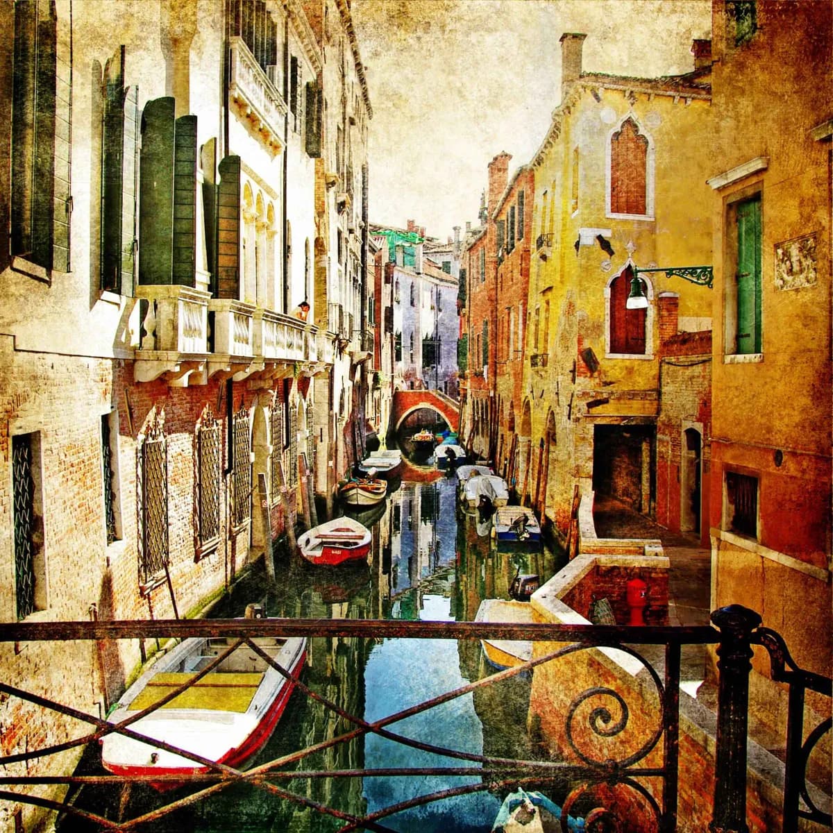
Its setting makes ordinary movement part of the visit. A walk from Cannaregio to San Marco shifts from narrow residential lanes to civic grandeur, while the Grand Canal reveals palaces built for a maritime republic. The trade-off is that the city is not one seamless walking grid: bridges, dead ends, and water crossings set the pace.
What to look for
- The Grand Canal is Venice's main waterway, lined with palaces that show its mercantile past.
- Six sestieri give the historic city distinct patterns, from Cannaregio's lanes to San Marco's ceremonial core.
- Campos function as neighborhood rooms, usually gathered around a church and crossed by local routes.
The full story
Venice grew in a shallow Adriatic lagoon, on islands separated by canals and tied together by bridges. That geography gave early settlers protection and later made the city a natural maritime crossroads. The built landscape still records that history: the Grand Canal was a commercial artery, St Mark's Square was the republic's ceremonial center, and the Arsenal supported the fleet that connected Venice with the Mediterranean. The historic center is divided into six sestieri—Cannaregio, Castello, San Marco, Dorsoduro, San Polo, and Santa Croce. They are useful planning districts rather than interchangeable quarters. Notice how the city changes when a broad waterfront, a campo, or a canal opens after a tight passage: Venice was shaped around waterborne movement, not a modern street plan.
Useful to know
- Use a map with sestiere names: street numbers restart within each district and are not a simple street sequence.
- Build in time for bridges and canal crossings; a nearby landmark can require a longer route than it appears.
- Treat lagoon islands as separate outings rather than extensions of a walking route through the historic center.