
Why go
Understanding the sestieri makes Venice easier to navigate and helps visitors combine places that truly belong together. San Marco and Castello share the eastern core; Cannaregio runs north; Dorsoduro faces the Giudecca Canal; San Polo and Santa Croce sit west of the Grand Canal. Islands such as Murano and Burano are separate trips.
What to look for
- A gondola's iron prow traditionally has six forward prongs representing the six sestieri.
- San Marco is the former state center, while Campo San Polo anchors a different civic scale across the canal.
- House numbers are unique within a sestiere and do not run predictably along individual streets.
The full story
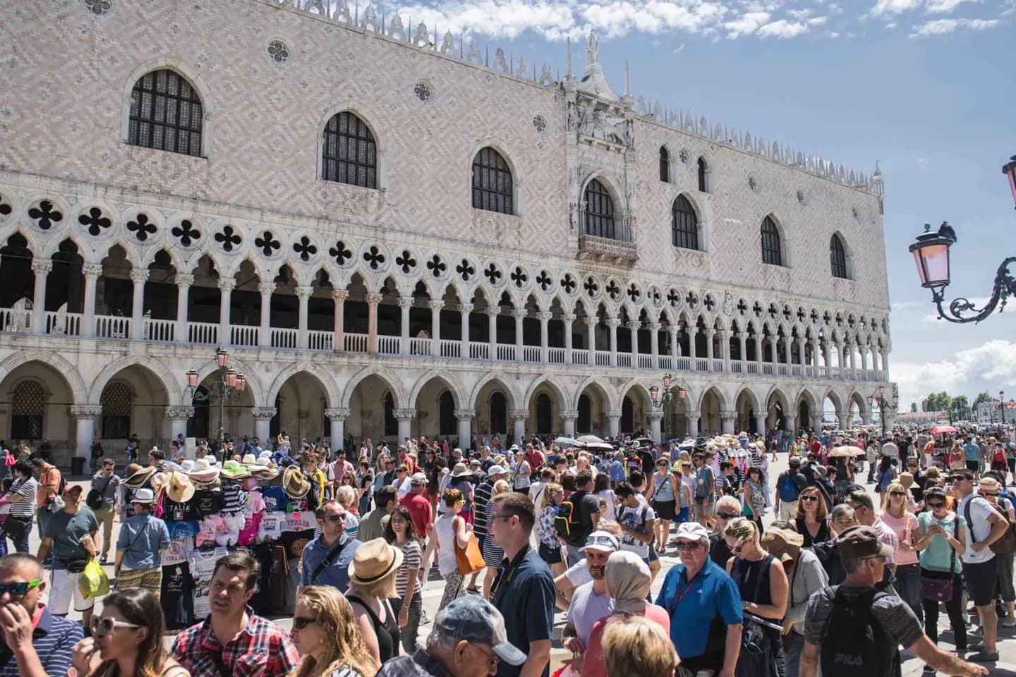
Venice's historic center is divided into six sestieri: Cannaregio, Castello, San Marco, Dorsoduro, San Polo, and Santa Croce. The districts have long historical identities, even though they are no longer autonomous governments. They remain useful because the city is organized by canals, bridges, campos, and waterways rather than a regular street grid. San Marco developed as the political and ceremonial heart around St Mark's Square and the Doge's Palace. Castello includes the Arsenal and stretches eastward; Cannaregio contains the Ghetto and northern canals. Dorsoduro includes the south-facing Zattere and faces Giudecca across the canal, while San Polo and Santa Croce occupy the western side of the Grand Canal. The lagoon's other islands are outside this six-part structure. That distinction matters: a route through Cannaregio is a walk, while Murano, Burano, Torcello, Lido, and Pellestrina require thinking in terms of water connections.
Useful to know
- Navigate by sestiere and nearby campo or landmark, not by street number alone.
- Plan one or two neighboring sestieri per walking stretch instead of crisscrossing the Grand Canal repeatedly.
- Reserve island visits for a water-transport outing; they are not part of the six-sestiere walking network.