
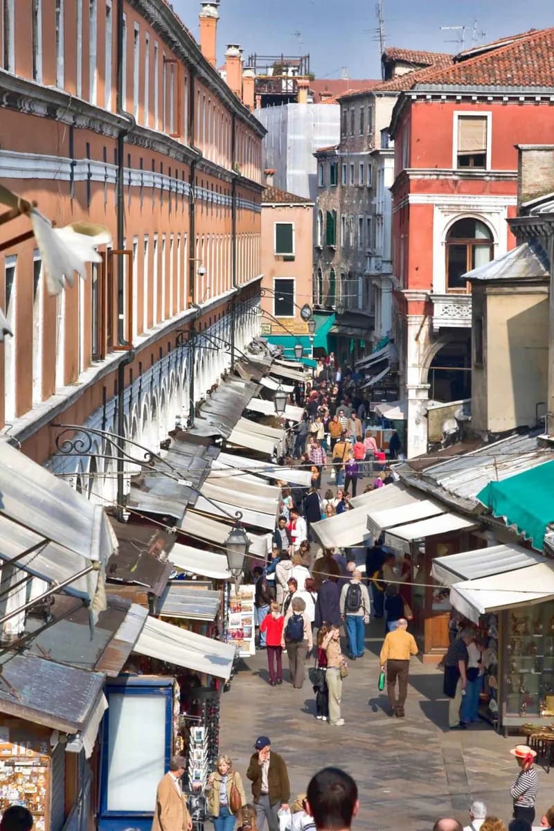
Why go
Walking lets a visitor notice the scale changes that water transport passes by: a narrow calle opening to Campo San Polo, a parish church beside a canal, or a bridge changing the route. It requires patience, because addresses are organized by sestiere and apparent shortcuts often end at water.
What to look for
- Signs point toward Rialto, San Marco, Ferrovia, and Piazzale Roma.
- Addresses use a sestiere and district number rather than a conventional street number.
- Campos act as open landmarks within the tight network of calli and canals.
The full story
Venice is compact enough to cross on foot, but it is not simple in the way a grid city is simple. Canals interrupt direct lines, bridges concentrate crossings, and narrow calli can turn quickly into small courts or dead ends. That is part of the experience. A walk reveals the city at the scale of a parish church, a wellhead, a canal door, or the sudden opening of a campo. Signs toward Rialto, San Marco, Ferrovia, and Piazzale Roma provide a basic orientation, but addresses require another adjustment: they use a sestiere and a district number rather than a familiar street sequence. The practical approach is to choose a coherent stretch—Cannaregio, San Polo, Dorsoduro, or Castello—and let it unfold at walking pace. Save long jumps across the city for water transport, particularly when luggage, weather, or tired legs would make bridge detours burdensome.
Useful to know
- Navigate with the sestiere, a nearby campo, and a landmark rather than an address alone.
- Walk one neighboring group of areas at a time; use a vaporetto for a long cross-city transfer.
- Wear footwear suited to uneven paving and repeated bridge steps.