
Why go
The district’s grid and maritime setting tell a different story from the Gothic Quarter. Its eighteenth-century origins are tied to residents displaced from La Ribera, and a walk from the harbor through the streets makes that geography easy to grasp.
What to look for
- Follow the narrow street grid away from the waterfront.
- Compare the Port Vell side with the open beach edge.
- Look for the Palau de Mar along Passeig de Joan de Borbó.
The full story
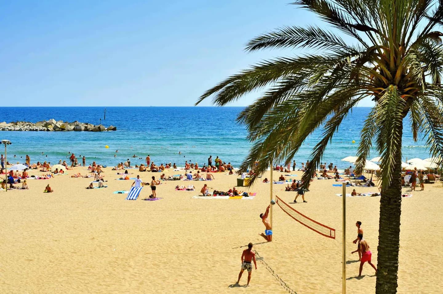
La Barceloneta was laid out in the eighteenth century on land beside Barcelona’s port. Its construction is linked to the displacement of people from La Ribera when the military citadel was built after 1714. That origin helps explain the area’s regular pattern of short, straight streets, which feels unlike the older lanes across the harbor. The neighborhood lies between Port Vell and the Mediterranean shore, so the experience changes quickly as you cross it. On the port side, Passeig de Joan de Borbó and the Palau de Mar relate to the working waterfront. Toward the sea, the streets open onto the beach and its promenade. Walk across the grid rather than only along its edge; the ordinary blocks between harbor and sand are what make La Barceloneta a neighborhood, not simply a stretch of coast.
Useful to know
- Walk from Port Vell through the neighborhood to the beach to see the contrast.
- Give the beach and any museum visit their own time; they are different ways to use the area.
Your next visit
Estimated · Declared scenario and planning estimates; no live opening, weather, queue or booking service.
Outdoor visit · 45–90 min
World planning estimate; admission, opening, visit duration and access need checking.